


13,3 km | 20 km-effort


Usuario


Aplicación GPS de excursión GRATIS
 SityTrail
IGN / Institutos geográficos
SityTrail World
El mundo es suyo
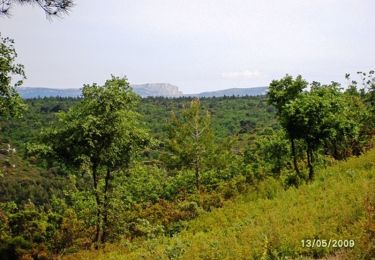
Ruta Senderismo de 13,2 km a descubrir en Provenza-Alpes-Costa Azul, Bocas del Ródano, Peypin. Esta ruta ha sido propuesta por Jacques Baudry2.
randonnée a pieds
départ du parking au centre du village
prendre le chemin jaune sur la gauche

Senderismo
Senderismo

Senderismo

Senderismo

A pie
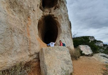
Senderismo

A pie
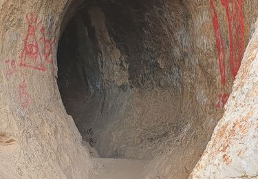
Senderismo

Senderismo