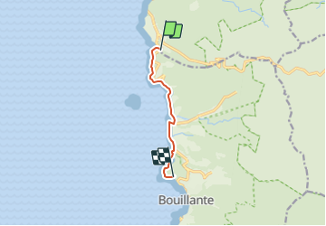

5,8 km | 9,2 km-effort


Usuario


Aplicación GPS de excursión GRATIS
 SityTrail
IGN / Institutos geográficos
SityTrail World
El mundo es suyo
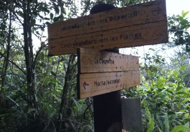
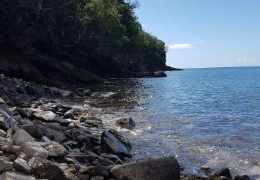
Ruta Senderismo de 7,1 km a descubrir en Guadalupe, Desconocido, Bouillante. Esta ruta ha sido propuesta por Jo-Guide.
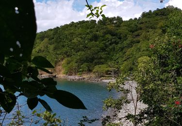
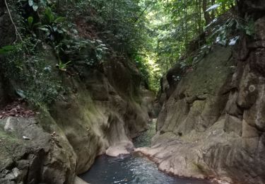
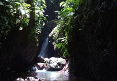
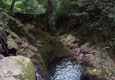
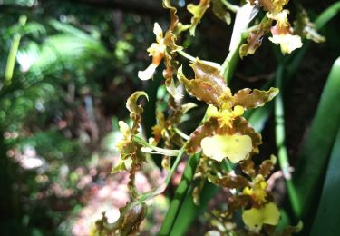
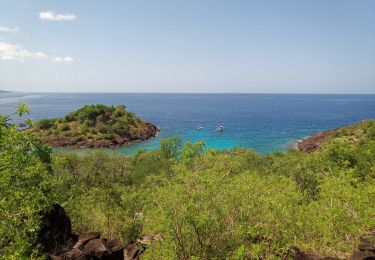
Randonnée qui part à la découverte du littoral de la Côte-sous-le-vent avec ses forêts sèches et son Panorama sur les Ilets de Pigeon.
Senderismo
Senderismo
Senderismo
Senderismo

Senderismo
Senderismo
Piragüismo
Senderismo