


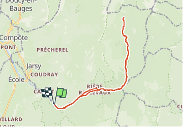

13,1 km | 24 km-effort

Usuario


Aplicación GPS de excursión GRATIS
 SityTrail
IGN / Institutos geográficos
SityTrail World
El mundo es suyo
Ruta Senderismo de 18,6 km a descubrir en Auvergne-Rhône-Alpes, Saboya, École. Esta ruta ha sido propuesta por PatDev.
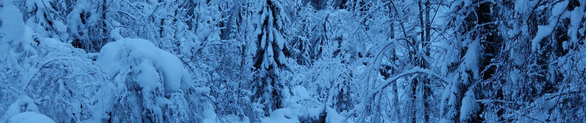
Belle randonnée dans la neige avec de magnifiques tapis cristallisés.
Dans l'ombre une bonne partie de la montée puis au soleil pour le déjeuner.
Progression en raquette en partie sur de la neige vierge est magnifique mais éprouvante.


Senderismo

Senderismo

Senderismo

Senderismo

Senderismo

Senderismo
Senderismo

Senderismo

Senderismo