


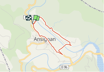

17,6 km | 26 km-effort


Usuario


Aplicación GPS de excursión GRATIS
 SityTrail
IGN / Institutos geográficos
SityTrail World
El mundo es suyo
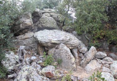
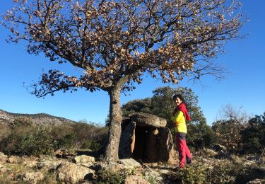
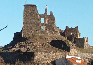
Ruta Senderismo de 3,1 km a descubrir en Occitania, Pirineos Orientales, Ansignan. Esta ruta ha sido propuesta por jopost.
depuis le parking, à coté de la départementale, allez visiter l'aqueduc puis parcourez le sentier des oiseaux et revenez par la départementale vers Ansignan, tournez à droite devant l'arbre de la liberté de 1848 et revenez au parking. bonne balade
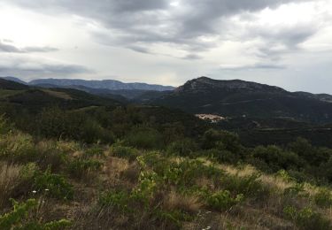
Senderismo

Senderismo
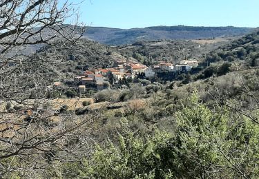
Senderismo
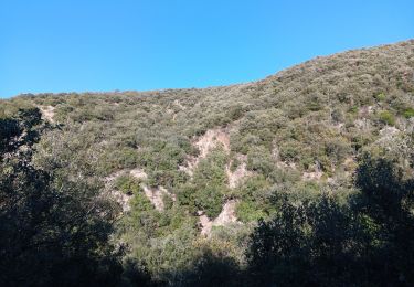
Senderismo
Senderismo
Senderismo
Senderismo
Senderismo
Senderismo