


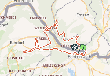

11,7 km | 15 km-effort

Usuario


Aplicación GPS de excursión GRATIS
 SityTrail
IGN / Institutos geográficos
SityTrail World
El mundo es suyo
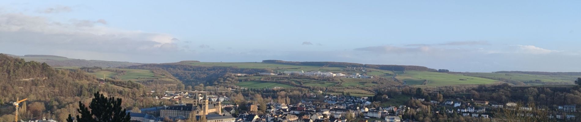
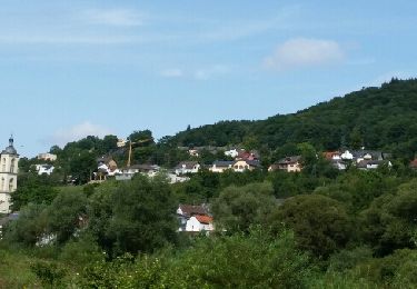
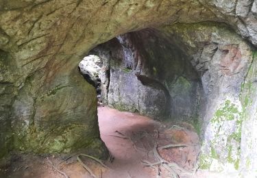
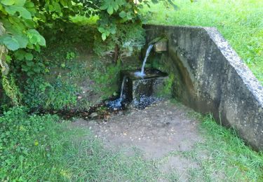
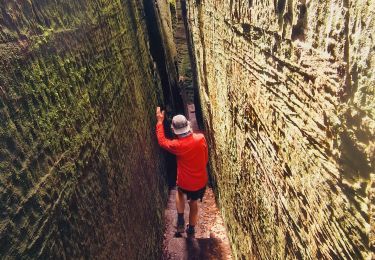
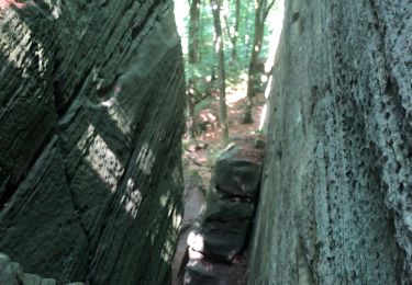
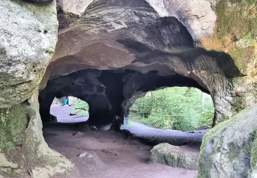
Ruta Senderismo de 22 km a descubrir en Desconocido, Canton Echternach, Echternach. Esta ruta ha sido propuesta por Ko-Rando.
Magnifique rando ! 🌿
Elle est assez physique mais tellement belle ! 🥾
(attention, ce tracé contient quelques petites erreurs)


Senderismo
Senderismo

Senderismo
Senderismo
Senderismo
Senderismo
Senderismo
A pie
A pie
Tres belle Randonnee 😍😍 Difficulté moyenne