


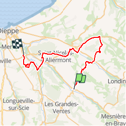

12,9 km | 15,3 km-effort


Usuario


Aplicación GPS de excursión GRATIS
 SityTrail
IGN / Institutos geográficos
SityTrail World
El mundo es suyo
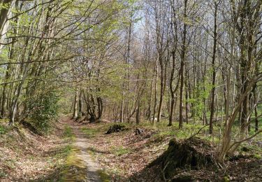
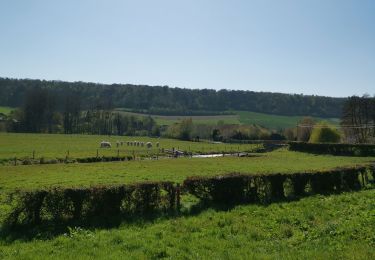
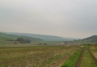
Ruta Otra actividad de 43 km a descubrir en Normandía, Sena-Marítimo, Saint-Vaast-d'Équiqueville. Esta ruta ha sido propuesta por ehalle8544.
Deuxième étape du rallye touristique de Gonneville sur Scie édition 2014 - 18 mai 2014

Senderismo
Senderismo

Bici de montaña
Senderismo
Senderismo
Senderismo
Senderismo
Senderismo
Senderismo
Super parcours