


12 km | 26 km-effort

Usuario GUIDE


Aplicación GPS de excursión GRATIS
 SityTrail
IGN / Institutos geográficos
SityTrail World
El mundo es suyo
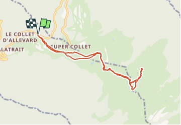
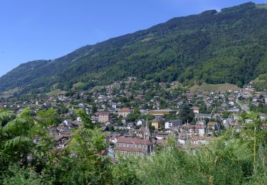
Ruta Esquí de fondo de 8,8 km a descubrir en Auvergne-Rhône-Alpes, Isère, Allevard. Esta ruta ha sido propuesta por nadd73.
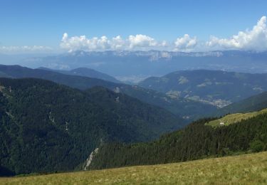
Le mieux est de descendre dans le vallon du grand Orgeval et remonter le vallon du col Claran


Senderismo

Senderismo
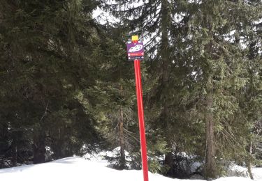
Esquí de fondo
Senderismo

A pie
A pie
Raquetas de nieve
Senderismo
Senderismo