


12,1 km | 15,5 km-effort


Usuario


Aplicación GPS de excursión GRATIS
 SityTrail
IGN / Institutos geográficos
SityTrail World
El mundo es suyo
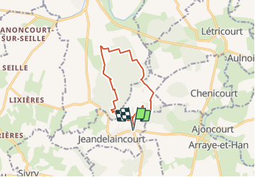
Ruta Senderismo de 10,8 km a descubrir en Gran Este, Meurthe y Mosela, Jeandelaincourt. Esta ruta ha sido propuesta por DanielROLLET.
2021 12 07 - 8h55 à 11h40
Reco rando
Temps couvert, ciel menaçant
circuit modifié cause chasseurs

Senderismo

Senderismo

Senderismo
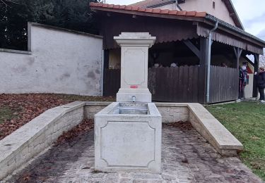
Senderismo
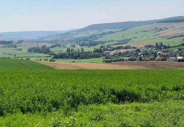
Senderismo

Cicloturismo
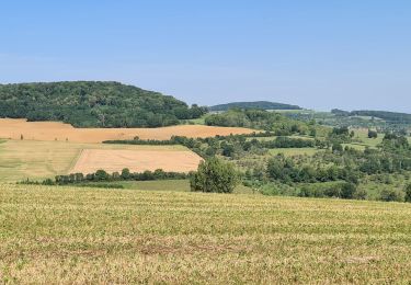

Senderismo
Senderismo