


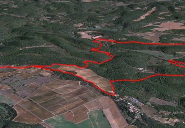
11,1 km | 17,3 km-effort

Usuario


Aplicación GPS de excursión GRATIS
 SityTrail
IGN / Institutos geográficos
SityTrail World
El mundo es suyo
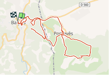
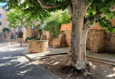
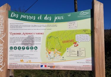
Ruta Senderismo de 15,1 km a descubrir en Provenza-Alpes-Costa Azul, Var, Barjols. Esta ruta ha sido propuesta por ETMU5496.
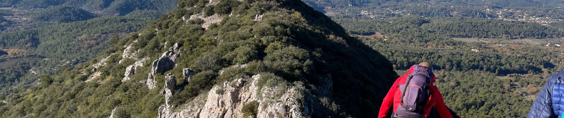
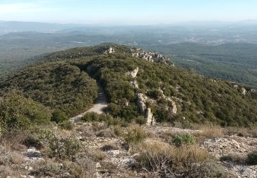
Rando tranquille avec une belle récompense avec l'ascension du petit Bessillon


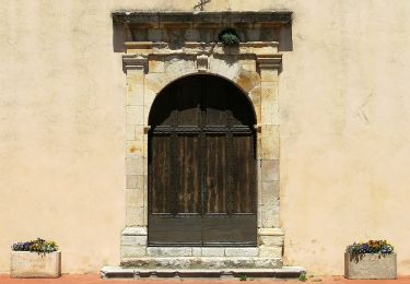
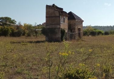
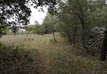
30 fotos en total. Haga clic en una foto para mostrarlas todas en la galería.

Senderismo
Senderismo
Senderismo
Senderismo
A pie
Senderismo
Senderismo
Senderismo
Senderismo