


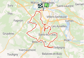

28 km | 33 km-effort


Usuario


Aplicación GPS de excursión GRATIS
 SityTrail
IGN / Institutos geográficos
SityTrail World
El mundo es suyo
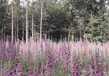
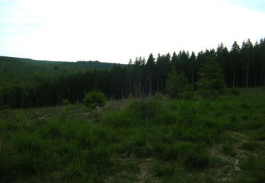
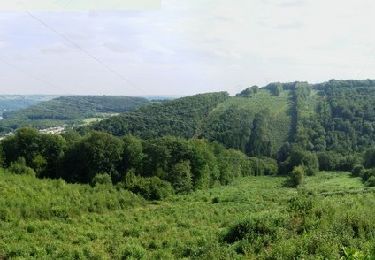
Ruta Bici de montaña de 37 km a descubrir en Gran Este, Ardenas, Charleville-Mézières. Esta ruta ha sido propuesta por GeGe08.
Charleville la Francheville La Vence Saint Marceau Chalandry spéciale bois Balaives Boulzicourt Champigneul Evigny Warnecourt Mézières
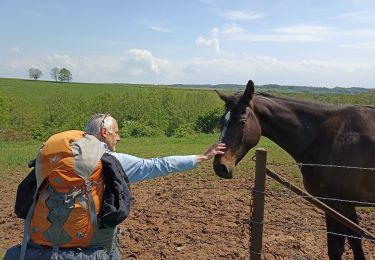
Senderismo
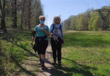
Senderismo

Senderismo
Bici de montaña
Senderismo

Senderismo
Bici de montaña
Bici de montaña
Bici de montaña