


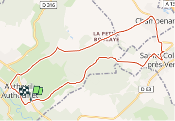

11,1 km | 13,2 km-effort


Usuario


Aplicación GPS de excursión GRATIS
 SityTrail
IGN / Institutos geográficos
SityTrail World
El mundo es suyo
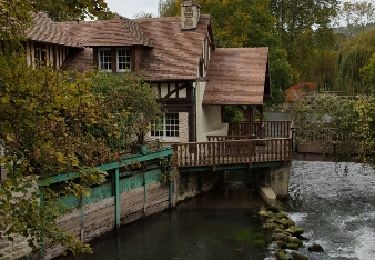
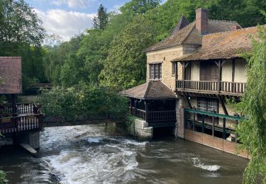
Ruta Senderismo de 10,8 km a descubrir en Normandía, Eure, Autheuil-Authouillet. Esta ruta ha sido propuesta por jeanlucien.
Rando origine : boucle des Hirondelles. Raccourci pour durée et ne pas reprendre chemin déjà emprunté.

Senderismo
Senderismo
Senderismo
Senderismo
Senderismo
Senderismo
Senderismo
Senderismo
Senderismo