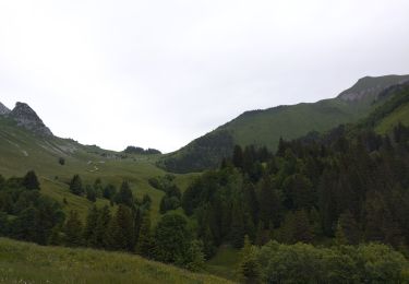
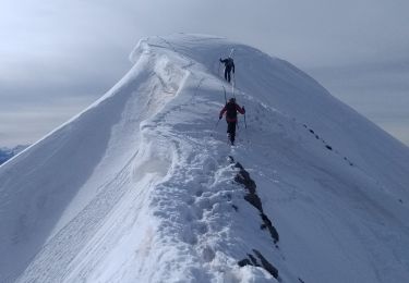
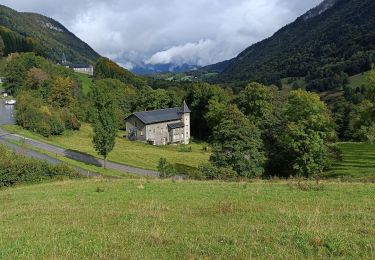
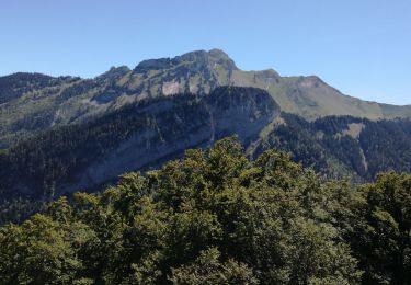
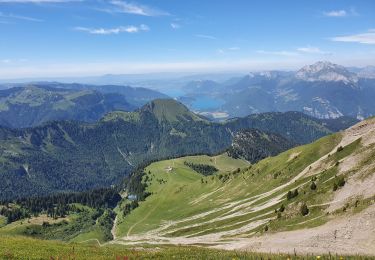
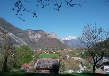
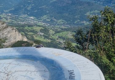
Excursión Esquí de fondo Faverges-Seythenex - Chalet de l aulp de seytenex. Col d orgeval  - Photo

Chalet de l aulp de seytenex. Col d orgeval

 totofalb
totofalb

Usuario

© OpenStreetMap contributors
Longitud
Longitud
5 km
Altitud máxima
Altitud máxima
1855 m
Desnivel positivo
Desnivel positivo
699 m
Km-Effort
Km-Effort  
12 km
Altitud mínima
Altitud mínima
1153 m
Desnivel negativo
Desnivel negativo
6 m
Boucle
Boucle
No
Fecha de creación :
2021-11-10 15:10:58.0
Última modificación :
2021-11-10 15:10:59.186

(1 Opinión)

Esquí de fondo
Esquí de fondo
--
Dificultad : Medio

Escanee este código QR para abrir la excursión en la aplicación SityTrail

Aplicación GPS de excursión GRATIS

Logo SityTrail SityTrail

IGN / Institutos geográficos

Descargar SityTrail en App Store Descargar SityTrail en Google Play

Logo SityTrail SityTrail World

El mundo es suyo

Descargar SityTrail en App Store Descargar SityTrail en Google Play Descargar SityTrail en Huawei AppGallery

A propósito

Ruta Esquí de fondo de 5 km a descubrir en Auvergne-Rhône-Alpes, Alta Saboya, Faverges-Seythenex. Esta ruta ha sido propuesta por totofalb.

Descripción

Aller simple

Perfil altimétrico

Localización

País:
France
Región :
Auvergne-Rhône-Alpes
Departamento/provincia :
Alta Saboya
Municipio :
Faverges-Seythenex
Localidad:
Seythenex
Salida:(Dec)
Salida:(UTM)
287934 ; 5065798 (32T) N.

Comentarios

Por favor conéctese para dejar un comentario o una evaluación


Excursiones cerca

Excursión Senderismo Plancherine - chalet de Drison à nant fourchu  - Photo
Senderismo
GUIDE
nadd73

Senderismo

Medio
Plancherine, Auvergne-Rhône-Alpes, Saboya, France
9,6 km | 18,3 km-effort
3h 23min
No
Excursión Esquí de fondo Faverges-Seythenex - Petite et Grande Chaurionde - Photo
Esquí de fondo
GUIDE
nadd73

Esquí de fondo

Medio
Faverges-Seythenex, Auvergne-Rhône-Alpes, Alta Saboya, France
12,2 km | 29 km-effort
5h 15min
Excursión Senderismo Plancherine - Abbaye de Tamié - Photo
Senderismo
apa

Senderismo

Fácil
Plancherine, Auvergne-Rhône-Alpes, Saboya, France
5,9 km | 8,1 km-effort
2h 12min
No
Excursión Senderismo Faverges-Seythenex - POINTE DU VELAN - Photo
Senderismo
Jean-Paulchoux

Senderismo

Medio
Faverges-Seythenex, Auvergne-Rhône-Alpes, Alta Saboya, France
11,2 km | 24 km-effort
3h 59min
Excursión Senderismo Faverges-Seythenex - tour de Sambuy - Photo
Senderismo
marcagif

Senderismo

Difícil
Faverges-Seythenex, Auvergne-Rhône-Alpes, Alta Saboya, France
36 km | 58 km-effort
6h 26min
No
Excursión Senderismo Faverges-Seythenex - la fosse a l'ours depuis Prafeu - Photo
Senderismo
COMAN

Senderismo

Fácil
(1)
Faverges-Seythenex, Auvergne-Rhône-Alpes, Alta Saboya, France
4,7 km | 8,4 km-effort
1h 42min
Excursión Senderismo Mercury - la belle etoile - Photo
Senderismo
scalpy

Senderismo

Medio
Mercury, Auvergne-Rhône-Alpes, Saboya, France
6,5 km | 16,1 km-effort
3h 42min
Excursión Senderismo Mercury - petite boucle belle etoile - Photo
Senderismo
jibebouvier

Senderismo

Medio
Mercury, Auvergne-Rhône-Alpes, Saboya, France
8 km | 17,6 km-effort
3h 27min
Excursión Senderismo Mercury - tamié - Photo
Senderismo
balmes

Senderismo

Medio
Mercury, Auvergne-Rhône-Alpes, Saboya, France
6,8 km | 10,2 km-effort
3h 6min


Cerrar
Mis suscripciones