


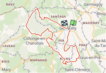

19,4 km | 26 km-effort


Usuario

Aplicación GPS de excursión GRATIS
 SityTrail
IGN / Institutos geográficos
SityTrail World
El mundo es suyo
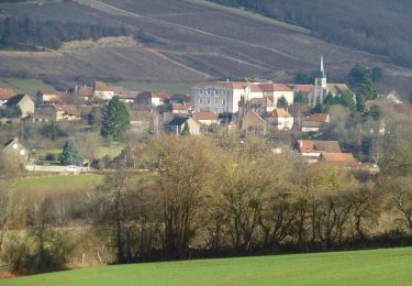
Ruta Senderismo de 24 km a descubrir en Borgoña-Franco Condado, Saona y Loira, Genouilly. Esta ruta ha sido propuesta por fetievant.
compter plutôt 22km manger a rain départ parking vers église 2km de rte a la fin donc attention si chaleur
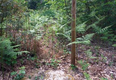
Senderismo

Senderismo
Senderismo
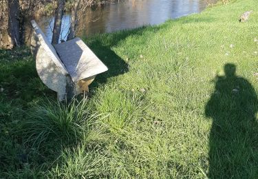
Senderismo
Senderismo
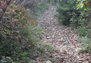
Senderismo
A pie
Senderismo
Senderismo