


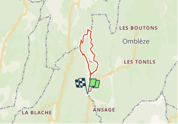

12,6 km | 26 km-effort


Usuario


Aplicación GPS de excursión GRATIS
 SityTrail
IGN / Institutos geográficos
SityTrail World
El mundo es suyo
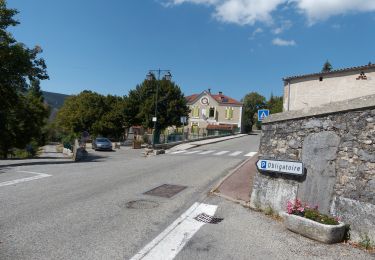
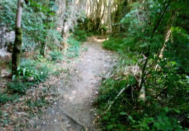
Ruta Senderismo de 9,5 km a descubrir en Auvergne-Rhône-Alpes, Drôme, Plan-de-Baix. Esta ruta ha sido propuesta por hugo26.
Très belle balade en boucle pas très difficile mais à faire de préférence quand le ruisseau ne coule pas trop.

Senderismo

Senderismo
Senderismo
Senderismo

Senderismo
Senderismo
Senderismo
Senderismo
Senderismo