


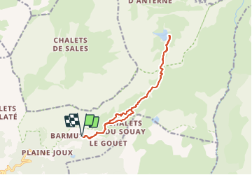

9 km | 14,3 km-effort

Usuario


Aplicación GPS de excursión GRATIS
 SityTrail
IGN / Institutos geográficos
SityTrail World
El mundo es suyo
Ruta Senderismo de 14 km a descubrir en Auvergne-Rhône-Alpes, Alta Saboya, Passy. Esta ruta ha sido propuesta por fafa74.
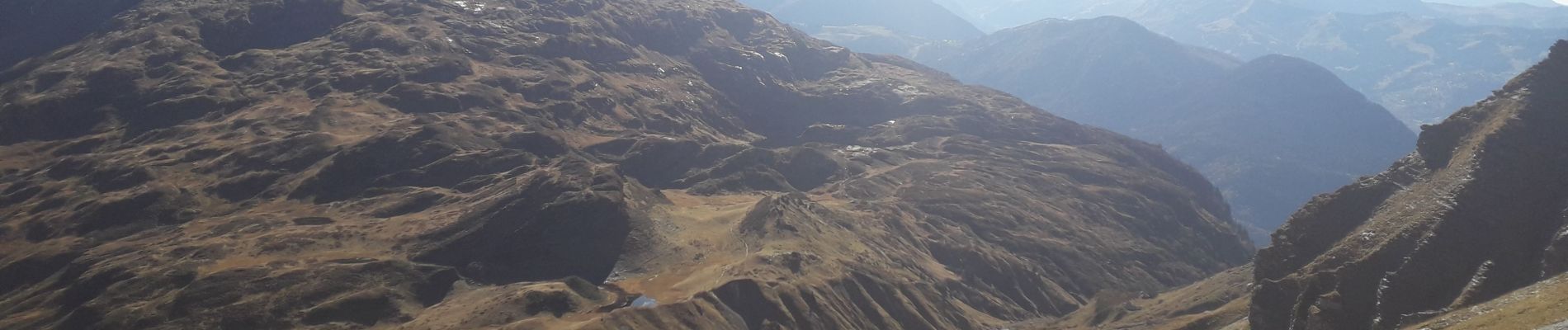
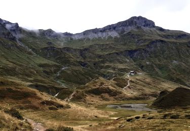
Belle rando peu exigeante techniquement et physiquement . Peut-être 1 ou 2 passages délicats par temps humide.


Senderismo

Senderismo

Senderismo

Senderismo

Carrera

Senderismo

Senderismo

Senderismo
Senderismo