


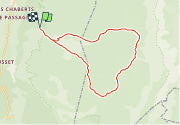

24 km | 33 km-effort


Usuario


Aplicación GPS de excursión GRATIS
 SityTrail
IGN / Institutos geográficos
SityTrail World
El mundo es suyo
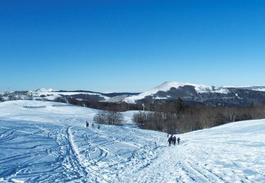
Ruta Senderismo de 17,2 km a descubrir en Auvergne-Rhône-Alpes, Drôme, Saint-Agnan-en-Vercors. Esta ruta ha sido propuesta por hugo26.
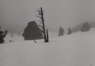
A faire après la fonte des neiges ou tout est en fleur.
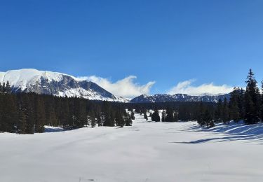
Très belle rando facile de début d'été.

Senderismo

Senderismo

Senderismo
Senderismo

Senderismo

Raquetas de nieve
Senderismo
Senderismo
Raquetas de nieve