


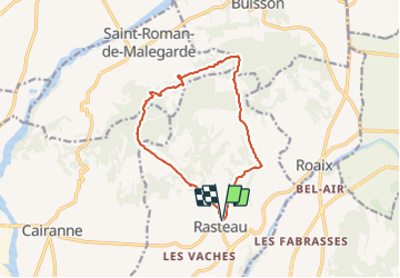

6,3 km | 9,8 km-effort


Usuario


Aplicación GPS de excursión GRATIS
 SityTrail
IGN / Institutos geográficos
SityTrail World
El mundo es suyo
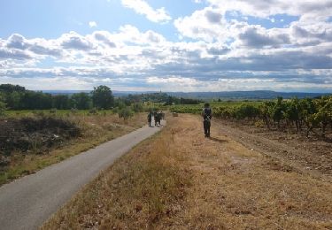
Ruta A pie de 13,3 km a descubrir en Provenza-Alpes-Costa Azul, Vaucluse, Rasteau. Esta ruta ha sido propuesta por jeanneruols.
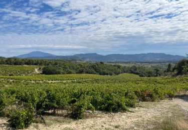
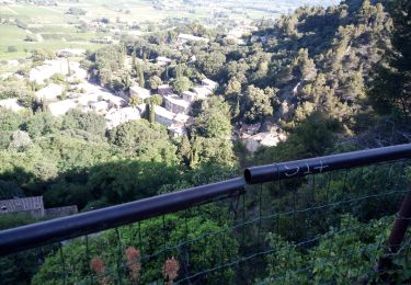
contraste saisissant entre un versany sud viticole vers l'Ouvèze et un versant nord plud raide dominant l'Aygues

Senderismo
Senderismo
Senderismo

Senderismo
Senderismo

Senderismo
Senderismo
Senderismo
Senderismo