


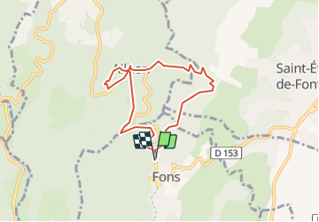

12,2 km | 18,7 km-effort


Usuario


Aplicación GPS de excursión GRATIS
 SityTrail
IGN / Institutos geográficos
SityTrail World
El mundo es suyo
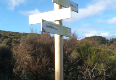
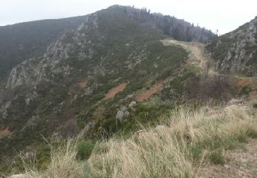
Ruta Senderismo de 6,9 km a descubrir en Auvergne-Rhône-Alpes, Ardecha, Fons. Esta ruta ha sido propuesta por Linerou.
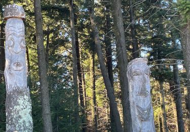
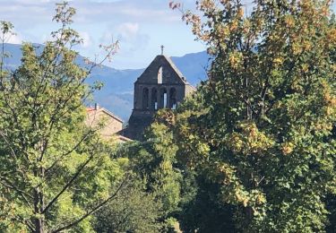
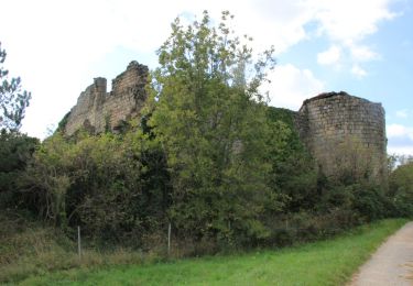
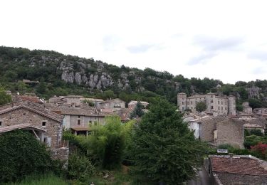
Ballade de quelques heures autour d\'Ailhon (église, arboretum), dans les pins sur des sentiers faciles et agréables. Bien pour l\'après-midi, par exemple.
Senderismo
Senderismo
Senderismo


sport
Senderismo
A pie
Senderismo

Senderismo
Senderismo