


3,5 km | 4,6 km-effort

Usuario


Aplicación GPS de excursión GRATIS
 SityTrail
IGN / Institutos geográficos
SityTrail World
El mundo es suyo
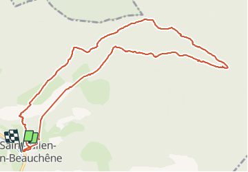
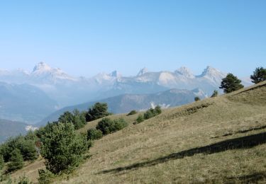
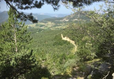
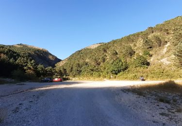
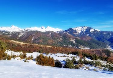
Ruta Senderismo de 12,6 km a descubrir en Provenza-Alpes-Costa Azul, Altos Alpes, Saint-Julien-en-Beauchêne. Esta ruta ha sido propuesta por GILOU440.
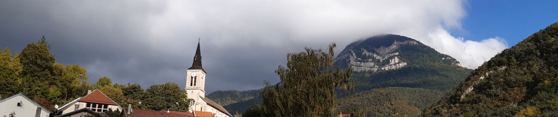
st Julien en beauchene
l'aupet
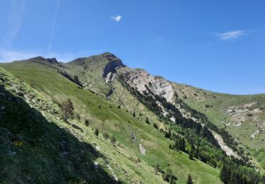
col de guillotier
col du pendu
parking
chartreuse
les etroits.
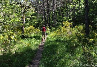
Forte montée pour l'aupet


22 fotos en total. Haga clic en una foto para mostrarlas todas en la galería.
A pie

Senderismo

A pie
Senderismo
Senderismo
Senderismo
Senderismo

Senderismo
Senderismo