


10,7 km | 13,9 km-effort

Usuario


Aplicación GPS de excursión GRATIS
 SityTrail
IGN / Institutos geográficos
SityTrail World
El mundo es suyo
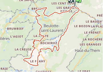
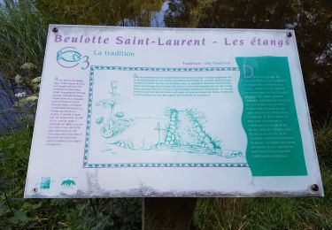
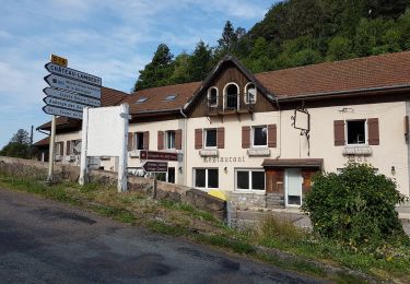
Ruta Bicicleta híbrida de 24 km a descubrir en Borgoña-Franco Condado, Alto Saona, Beulotte-Saint-Laurent. Esta ruta ha sido propuesta por margotte.
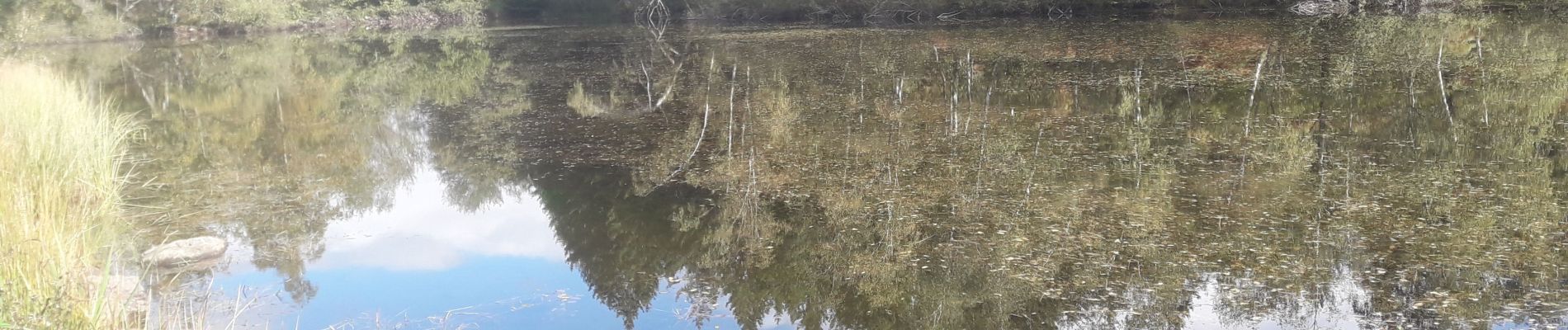
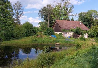
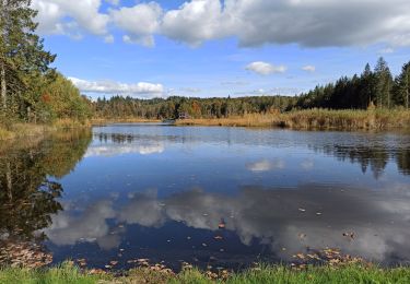
balade automnale sans grand contraste et bruit....la nature se met en dormance


Senderismo

Senderismo
Senderismo

Senderismo
Senderismo
Senderismo
Senderismo
Senderismo
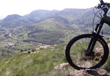
Bici de montaña