


8,6 km | 12 km-effort

Usuario


Aplicación GPS de excursión GRATIS
 SityTrail
IGN / Institutos geográficos
SityTrail World
El mundo es suyo
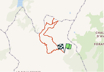
Ruta Senderismo de 17 km a descubrir en Auvergne-Rhône-Alpes, Saboya, Aime-la-Plagne. Esta ruta ha sido propuesta por flip38.
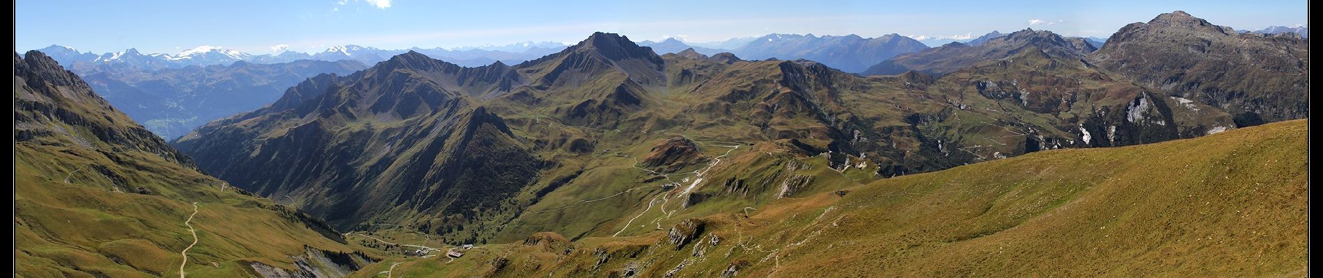
Belle randonnée vers ce sommet panoramique du Beaufortain.
Traversée de nombreux alpages, on est vraiment ici dans le pays du fromage de Beaufort.
Pas de difficulté technique mais la montée finale est soutenue, mais la récompense est au rendez-vous.
D'autres informations sur mon site : http://surlessommets.blog.free.fr/


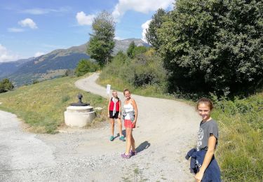
Senderismo

Senderismo

Senderismo

Senderismo
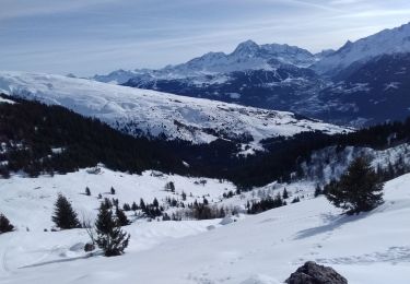
Esquí de fondo

Esquí de fondo
Senderismo

Raquetas de nieve

Senderismo