


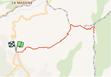

19,6 km | 37 km-effort


Usuario


Aplicación GPS de excursión GRATIS
 SityTrail
IGN / Institutos geográficos
SityTrail World
El mundo es suyo
Ruta Senderismo de 11,2 km a descubrir en Provenza-Alpes-Costa Azul, Alpes Marítimos, Levens. Esta ruta ha sido propuesta por bozo1970.
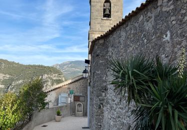
Départ de Levens balise 250
Montée en 2h agréable sentier bien marqué
Par le col de Fuont Blanca col du Dragon
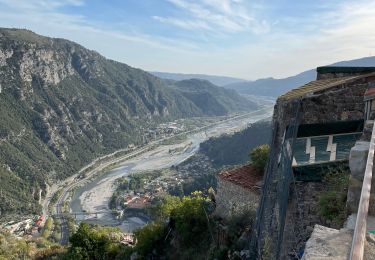
Très belle vue d'ensemble CORSE

Senderismo

A pie

A pie

Senderismo

Senderismo
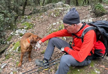
Senderismo

Senderismo
Senderismo
Senderismo