


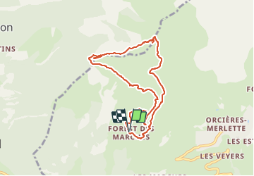

6,3 km | 9,9 km-effort

Usuario


Aplicación GPS de excursión GRATIS
 SityTrail
IGN / Institutos geográficos
SityTrail World
El mundo es suyo
Ruta Senderismo de 8,7 km a descubrir en Provenza-Alpes-Costa Azul, Altos Alpes, Orcières. Esta ruta ha sido propuesta por PapouBertrand.
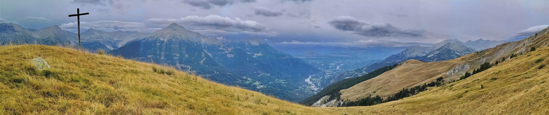
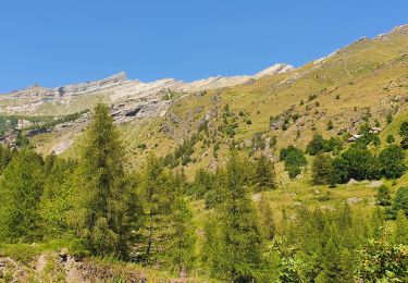
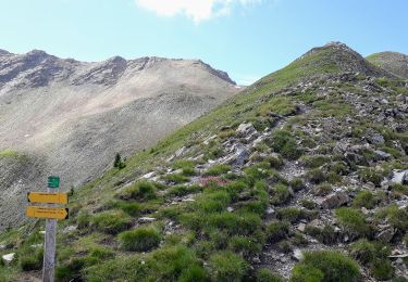
Randonnée Marche de 8,7 km, 600 m de dénivelé à découvrir à Orcières, Hautes-Alpes, Provence-Alpes-Côte d'Azur.


Senderismo

Senderismo

A pie

Senderismo

Senderismo
Senderismo
Senderismo

Senderismo
Senderismo