


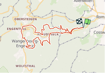

19,8 km | 31 km-effort

Usuario GUIDE


Aplicación GPS de excursión GRATIS
 SityTrail
IGN / Institutos geográficos
SityTrail World
El mundo es suyo
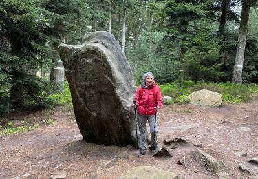
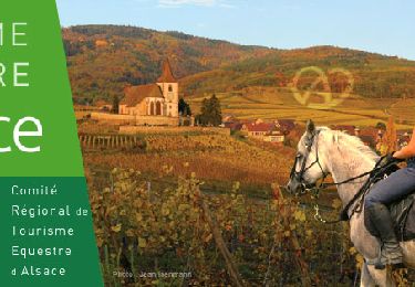
Ruta Paseo ecuestre de 21 km a descubrir en Gran Este, Bajo-Rin, Romanswiller. Esta ruta ha sido propuesta por holtzv.
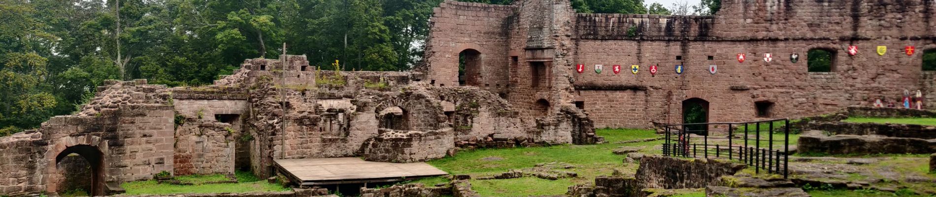
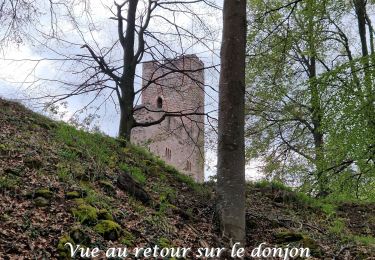
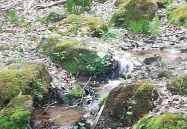
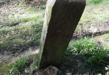
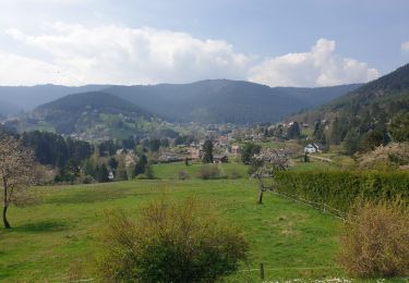
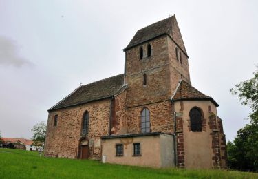
Journée au départ de la M.F. du Fuschloch en direction du château de Wangenbourg Engenthal pour la pause picnic tout en passant pat la cascade et fontaine de Ziegbach, Heidenschloss, Rotfels.


Senderismo

Senderismo
Senderismo
Senderismo
Senderismo
Senderismo
A pie
Senderismo
Paseo ecuestre