


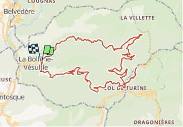

16,6 km | 33 km-effort


Usuario


Aplicación GPS de excursión GRATIS
 SityTrail
IGN / Institutos geográficos
SityTrail World
El mundo es suyo
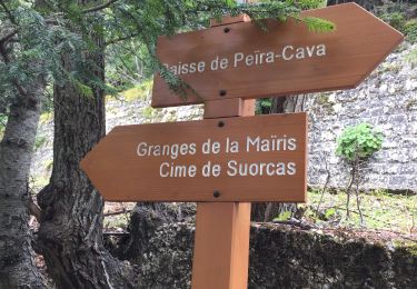
Ruta Bicicleta híbrida de 31 km a descubrir en Provenza-Alpes-Costa Azul, Alpes Marítimos, La Bollène-Vésubie. Esta ruta ha sido propuesta por jpbaudoin.
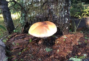
montée piste forestière de malagrata et la brasca jusqu'à vacheries de mantega (tome du pays) puis Camp d'argent (tarte aux myrtilles chez Jean Jean au restaurant de l'Authion) descente sur la Bollène par la route.

Senderismo
Senderismo

A pie

A pie

Senderismo
Senderismo
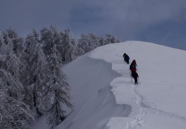
Raquetas de nieve
Senderismo
Senderismo