62 km | 81 km-effort
Sonia
pedromartin
Usuario
Longitud
9,4 km
Altitud máxima
329 m
Desnivel positivo
192 m
Km-Effort
11,9 km
Altitud mínima
162 m
Desnivel negativo
178 m
Boucle
No
Fecha de creación :
2021-09-01 07:41:18.971
Última modificación :
2021-09-01 09:44:02.309
2h02
Dificultad : Medio
Aplicación GPS de excursión GRATIS
A propósito
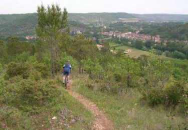
Ruta Senderismo de 9,4 km a descubrir en Occitania, Lot, Trespoux-Rassiels. Esta ruta ha sido propuesta por pedromartin.
Localización
País:
France
Región :
Occitania
Departamento/provincia :
Lot
Municipio :
Trespoux-Rassiels
Localidad:
Unknown
Salida:(Dec)
Salida:(UTM)
369606 ; 4919430 (31T) N.
Comentarios
Excursiones cerca
Cahors les Durands 7km
Senderismo
Fácil
(1)
Pradines,
Occitania,
Lot,
France
7,1 km | 9,3 km-effort
2h 13min
Sí
Mon Compostelle huitième étape
Senderismo
Difícil
Labastide-Marnhac,
Occitania,
Lot,
France
51 km | 65 km-effort
10h 40min
No
Circuit ouest de Trespoux Rassiels
Bici de montaña
Muy difícil
Trespoux-Rassiels,
Occitania,
Lot,
France
38 km | 51 km-effort
4h 15min
Sí
Raid Cahors La Rozière 2006
Bici de montaña
Muy difícil
Cahors,
Occitania,
Lot,
France
59 km | 78 km-effort
4h 40min
Sí
filles de manu
Senderismo
Medio
Trespoux-Rassiels,
Occitania,
Lot,
France
9,7 km | 11,9 km-effort
3h 13min
No
filles de manu 1juin24
Senderismo
Medio
Trespoux-Rassiels,
Occitania,
Lot,
France
5 km | 7,2 km-effort
1h 33min
Sí
Cluzel au temps des bleuets
Senderismo
Muy fácil
Labastide-Marnhac,
Occitania,
Lot,
France
10,2 km | 11,7 km-effort
2h 9min
Sí
Cluzel 3
Senderismo
Medio
Labastide-Marnhac,
Occitania,
Lot,
France
8,4 km | 10 km-effort
1h 40min
Sí