


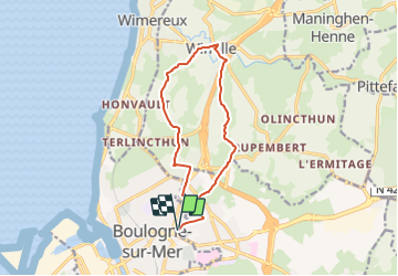

9,8 km | 11,4 km-effort


Usuario


Aplicación GPS de excursión GRATIS
 SityTrail
IGN / Institutos geográficos
SityTrail World
El mundo es suyo
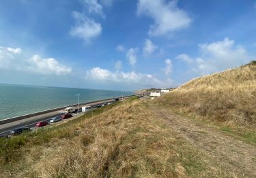
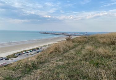
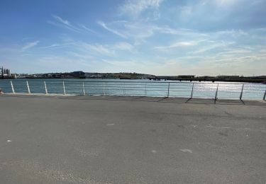
Ruta Senderismo de 11,4 km a descubrir en Alta Francia, Paso de Calais, Boulogne-sur-Mer. Esta ruta ha sido propuesta por philippe.vdv.
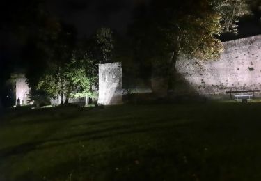
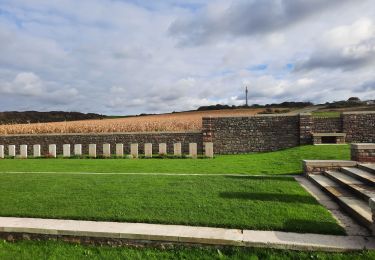
boucle à partir du vieux sous via la vallée du Denacre - Wimille - La grande colonne
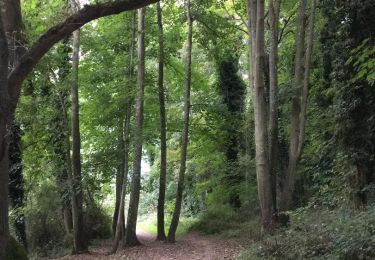
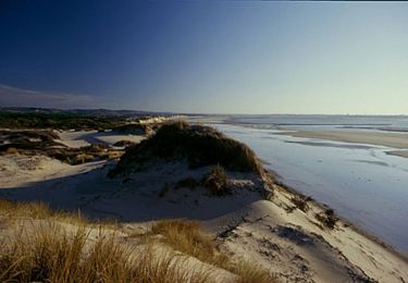
Senderismo
Bici de montaña
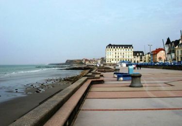
Senderismo

Senderismo
Senderismo
Senderismo
Senderismo
Senderismo
Senderismo