


10,3 km | 16,8 km-effort

Usuario


Aplicación GPS de excursión GRATIS
 SityTrail
IGN / Institutos geográficos
SityTrail World
El mundo es suyo
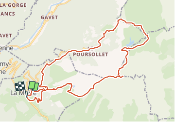
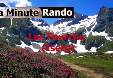
Ruta A pie de 26 km a descubrir en Auvergne-Rhône-Alpes, Isère, La Morte. Esta ruta ha sido propuesta por yann07.
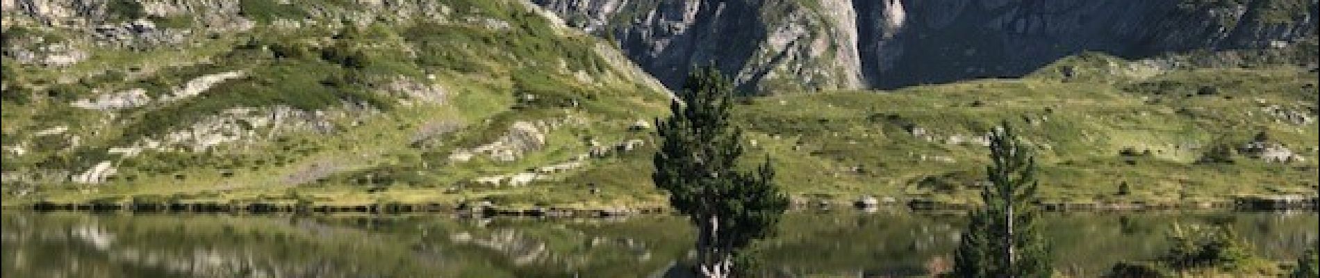
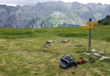
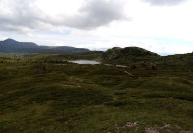
Randonnée en deux jours avec un Bivouac au lac Fourchu.
La descente du Taillefer par le sentier Nord en direction du plateau du lac est tres long et glissant avec deux passages ou il faut mettre les mains
Alpe du grand serre au lac fourchu par le Taillefer envron 7 Heures sans les poses.
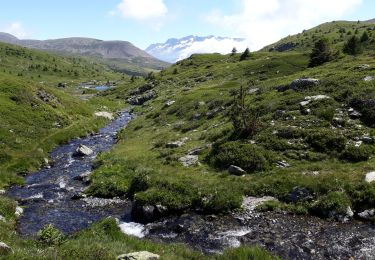
Le deuxieme jour environ 4H30 sans les poses


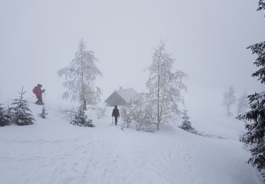
Raquetas de nieve
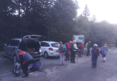
Senderismo
Senderismo
Senderismo
A pie
Senderismo
Senderismo

Senderismo
Senderismo