24 km | 30 km-effort
Mont des Cats
Greg813
Usuario
Longitud
9,6 km
Altitud máxima
167 m
Desnivel positivo
208 m
Km-Effort
12,4 km
Altitud mínima
49 m
Desnivel negativo
212 m
Boucle
Sí
Fecha de creación :
2021-08-15 11:49:00.214
Última modificación :
2022-01-30 19:57:38.273
1h51
Dificultad : Medio
Aplicación GPS de excursión GRATIS
A propósito
Ruta Senderismo de 9,6 km a descubrir en Alta Francia, Norte, Berthen. Esta ruta ha sido propuesta por Greg813.
Descripción
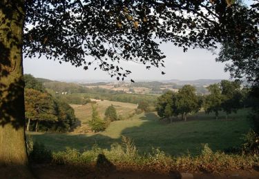
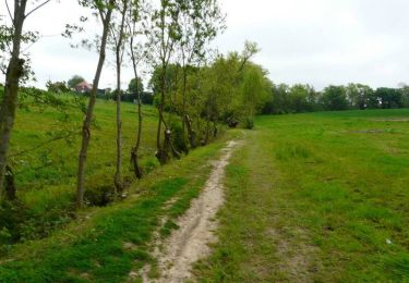
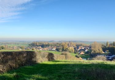
Pour ceux qui souhaitent trouver un peu de dénivelé au coeur du plat pays, cette randonnée est faite pour vous !
Localización
País:
France
Región :
Alta Francia
Departamento/provincia :
Norte
Municipio :
Berthen
Localidad:
Unknown
Salida:(Dec)
Salida:(UTM)
478513 ; 5625690 (31U) N.
Comentarios
Excursiones cerca
Monts Rouge et Noir
Senderismo
Difícil
(1)
Heuvelland,
Flandes,
Flandes Occidental,
Belgium
5h 27min
Sí
Autour du monastère - Godewaersvelde
Senderismo
Difícil
(4)
Berthen,
Alta Francia,
Norte,
France
11,8 km | 15,6 km-effort
3h 0min
Sí
Loker - Le Mont Rouge
Senderismo
Medio
(3)
Heuvelland,
Flandes,
Flandes Occidental,
Belgium
8,7 km | 10,8 km-effort
2h 19min
Sí
Tweebergen wandelroute
A pie
Fácil
Heuvelland,
Flandes,
Flandes Occidental,
Belgium
7,3 km | 9 km-effort
2h 2min
Sí
Westouter langs tweetermen
Senderismo
Difícil
(1)
Heuvelland,
Flandes,
Flandes Occidental,
Belgium
7,5 km | 9,1 km-effort
2h 4min
Sí
sentier des jacynthes
Senderismo
Medio
(1)
Saint-Jans-Cappel,
Alta Francia,
Norte,
France
7,3 km | 9,2 km-effort
2h 1min
Sí
camping de la Ferme des Saules à côté de Bailleul, arrivée Deulemont
Senderismo
Medio
Bailleul,
Alta Francia,
Norte,
France
32 km | 34 km-effort
9h 10min
No
Boeschepe
Senderismo
Difícil
Boeschepe,
Alta Francia,
Norte,
France
10,6 km | 13 km-effort
2h 26min
No