


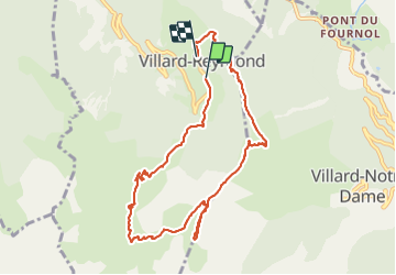

18,4 km | 36 km-effort

Usuario


Aplicación GPS de excursión GRATIS
 SityTrail
IGN / Institutos geográficos
SityTrail World
El mundo es suyo
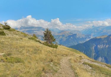
Ruta Senderismo de 9,9 km a descubrir en Auvergne-Rhône-Alpes, Isère, Villard-Reymond. Esta ruta ha sido propuesta por patjobou.
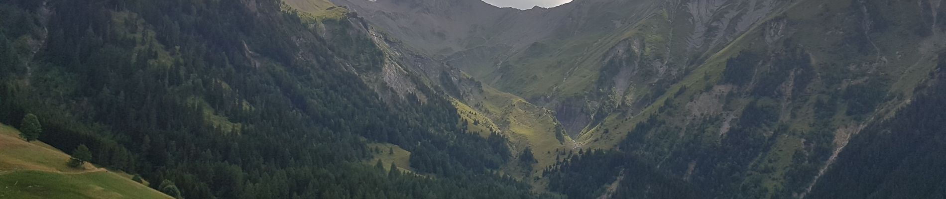
Belle boucle avec de superbes paysages et une vue sur 360°: L'Oisans, Les Grandes Rousses, Belledonne, Le Taillefer. Nous montrons sur la Crête de la Croix de La Garde jusqu'à 2200m pour pique niquer. Belle descente en lacets face Est, sous la croix du Carrelet, parmi les pins à crochet, et les mélèzes.


Senderismo
Esquí de fondo

Esquí de fondo

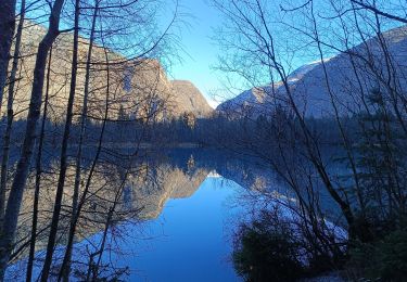
Senderismo
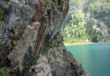
Senderismo
Senderismo
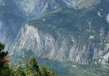
Senderismo
Senderismo
Senderismo