


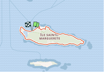

9 km | 10,5 km-effort


Usuario


Aplicación GPS de excursión GRATIS
 SityTrail
IGN / Institutos geográficos
SityTrail World
El mundo es suyo
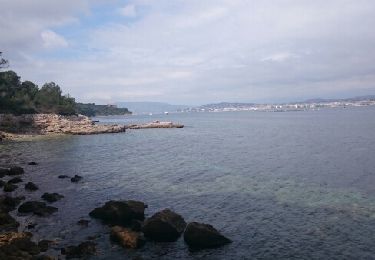
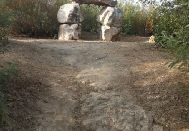
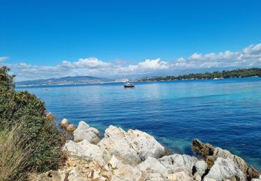
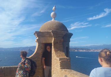
Ruta Senderismo de 7,6 km a descubrir en Provenza-Alpes-Costa Azul, Alpes Marítimos, Cannes. Esta ruta ha sido propuesta por jwo47.
Très facile. Se renseigner pour les horaires des navettes avec les départs de Cannes. A éviter si vous recherchez le calme du 15 juin au 15 septembre.
Senderismo
Bicicleta
Senderismo
Senderismo
Senderismo

Senderismo
Senderismo
Senderismo
Senderismo