


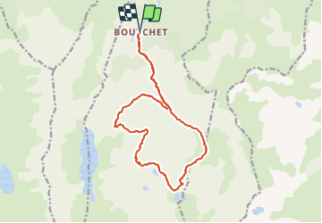

5,8 km | 10,3 km-effort

Usuario


Aplicación GPS de excursión GRATIS
 SityTrail
IGN / Institutos geográficos
SityTrail World
El mundo es suyo
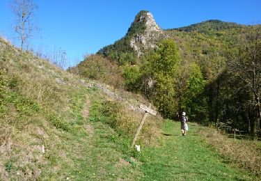
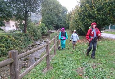
Ruta Senderismo de 19,1 km a descubrir en Occitania, Ariège, Siguer. Esta ruta ha sido propuesta por bellouelo46.
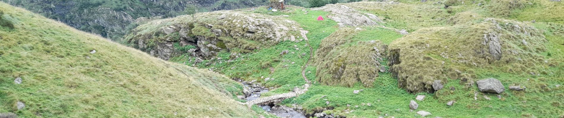
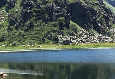
belle randonnée assez exigeante mais sympa après le lac des redouneilles sur le haut sentier pas évident sans gps mais sinon pas de difficulté mis a part le dénivelé


A pie

Senderismo

Senderismo
Senderismo

Senderismo
Senderismo
Senderismo

Senderismo

Senderismo