


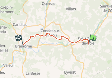

13,2 km | 16,7 km-effort

Usuario


Aplicación GPS de excursión GRATIS
 SityTrail
IGN / Institutos geográficos
SityTrail World
El mundo es suyo
Ruta Senderismo de 17,1 km a descubrir en Nueva Aquitania, Dordogne, Saint-Pierre-de-Côle. Esta ruta ha sido propuesta por romoirand.
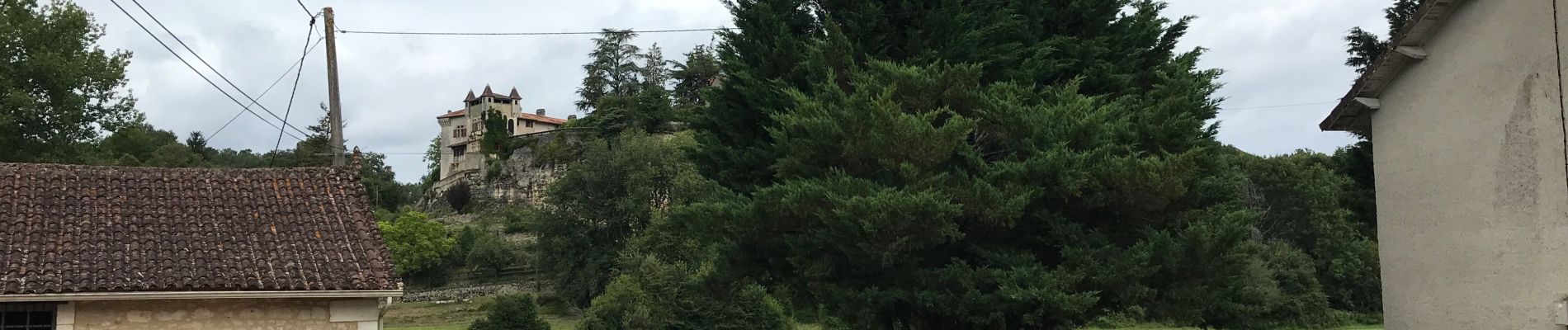
Belle randonnée très variée avec des beaux sentiers des villages des pres et des bois facile sauf la longueur


Senderismo
Senderismo
Senderismo
Senderismo
Senderismo
Senderismo
Senderismo
Senderismo
Senderismo