


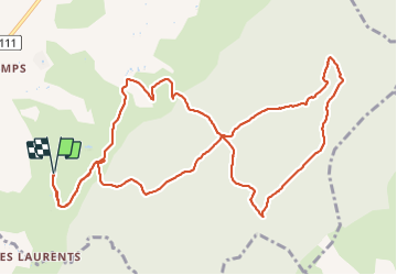

13,4 km | 20 km-effort


Usuario


Aplicación GPS de excursión GRATIS
 SityTrail
IGN / Institutos geográficos
SityTrail World
El mundo es suyo
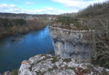
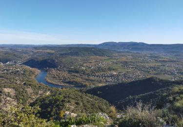
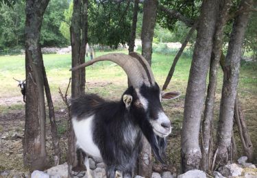
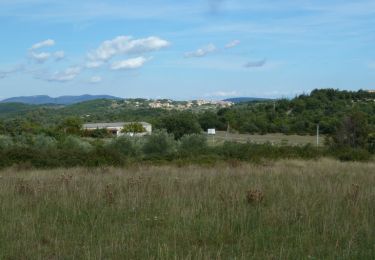
Ruta Senderismo de 13,7 km a descubrir en Auvergne-Rhône-Alpes, Ardecha, Grospierres. Esta ruta ha sido propuesta por fredhd25.
Départ centre vacances Pierre & Vacances / Sowell Hotel
Prévoir de l'eau - idéal tôt le matin car ombragée

Marcha nórdica
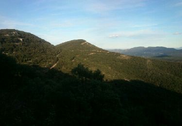
Senderismo
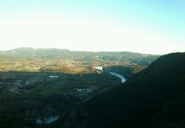
Senderismo

Senderismo
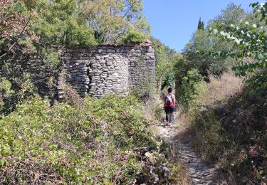
Senderismo
Senderismo
Senderismo
Senderismo
Senderismo