


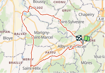


7,3 km | 9,7 km-effort

Usuario


Aplicación GPS de excursión GRATIS
 SityTrail
IGN / Institutos geográficos
SityTrail World
El mundo es suyo
Ruta Bici de montaña de 19,8 km a descubrir en Auvergne-Rhône-Alpes, Alta Saboya, Alby-sur-Chéran. Esta ruta ha sido propuesta por Ladyclairdelune74.
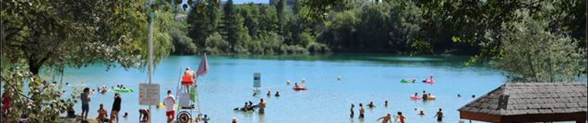
Petite portion de piste pour accéder et traverser le pont sur le Chéran au niveau du plan d'eau de Rumilly. Tout à fait praticable en VTC, peut-être plus difficile en vélo de route. Mais très joli !


Senderismo
Senderismo
Senderismo
Senderismo
Senderismo
Senderismo
Senderismo

Senderismo

Senderismo