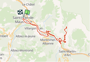
![](/images/other/stat-length.png)
![Excursión Bici de carretera Saint-Jean-de-Maurienne - Chaburtan - Photo](https://media.geolcdn.com/t/1900/400/28be9886-2421-4baa-a81c-d04bd93a111b.jpg&format=pjpeg&maxdim=2)
Chaburtan
nadd73
Usuario GUIDE
![Longitud](/images/other/stat-length.png)
![Altitud máxima](https://static1.geolcdn.com/siteimages/upload/files/1508320355ic_sort_altitude_max_24dp.png)
![Desnivel positivo](https://static1.geolcdn.com/siteimages/upload/files/1508320355ic_sort_den_pos_24dp.png)
![Km-Effort](/images/other/stat-length.png)
![Altitud mínima](https://static1.geolcdn.com/siteimages/upload/files/1508320355ic_sort_altitude_min_24dp.png)
![Desnivel negativo](https://static1.geolcdn.com/siteimages/upload/files/1508320355ic_sort_den_neg_24dp.png)
![Boucle](https://static1.geolcdn.com/siteimages/upload/files/16400158638029165_repeat_loop_refresh_sync_direction_icon.png)
![Bici de carretera](https://static1.geolcdn.com/sitytour/trail-icons/201.png)
5h43
Dificultad : Medio
![Escanee este código QR para abrir la excursión en la aplicación SityTrail](https://capi.geolives.com/qq0zvz2zws4bq2lad0pu/sitytour/trails/2876056/qr.png?size=200)
Aplicación GPS de excursión GRATIS
A propósito
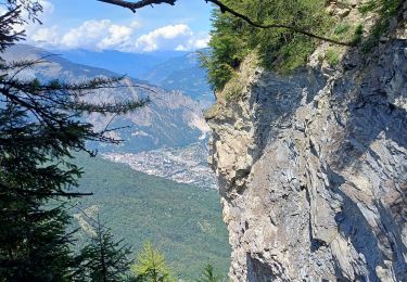
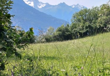
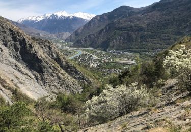
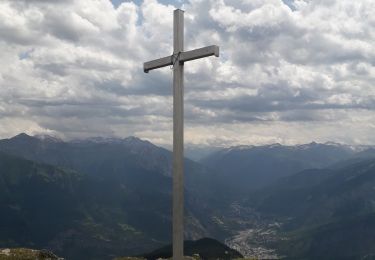
Ruta Bici de carretera de 47 km a descubrir en Auvergne-Rhône-Alpes, Saboya, Saint-Jean-de-Maurienne. Esta ruta ha sido propuesta por nadd73.
Descripción
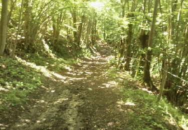
A l'allée j'ai voulu prendre dès Petites routes car il y avait des travaux sur la N mais je me suis retrouvée le long du canal dans un chemin forestier donc le vélo de course n'a pas trop apprécié.
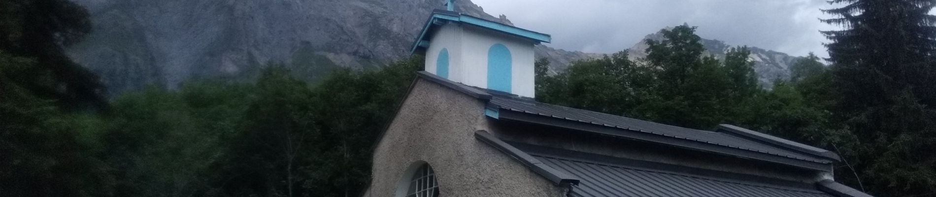
La fin comporte des pentes très raides. Sinon très joli et calme (à partir de Saint Martin de la porte).
Localización
Comentarios
Excursiones cerca
![Excursión Bici de montaña La Tour-en-Maurienne - Le châtel-Le Chaussy-Le Melezet - Photo](https://media.geolcdn.com/t/375/260/ext.jpg?maxdim=2&url=https%3A%2F%2Fservices.sitytrail.com%2FGeolivesWS%2FDownloadMedia.ashx%3FTrailID%3D204099%26Media%3Dfix__20130711114109.jpg)
![Bici de montaña Bici de montaña](https://static1.geolcdn.com/sitytour/trail-icons/202.png)
Bici de montaña
![](/images/other/stat-length.png)
![](https://static1.geolcdn.com/siteimages/upload/files/16400158638029165_repeat_loop_refresh_sync_direction_icon.png)
![Excursión Senderismo Jarrier - le grand Chatelard - Photo](https://media.geolcdn.com/t/375/260/ext.jpg?maxdim=2&url=https%3A%2F%2Fservices.sitytrail.com%2FGeolivesWS%2FDownloadMedia.ashx%3FTrailID%3D142418%26Media%3D20120730134347.jpg)
![Senderismo Senderismo](https://static1.geolcdn.com/sitytour/trail-icons/101.png)
Senderismo
![](/images/other/stat-length.png)
![](https://static1.geolcdn.com/siteimages/upload/files/16400158638029165_repeat_loop_refresh_sync_direction_icon.png)
![Excursión Raquetas de nieve Saint-Pancrace - les Bottieres - La Cochette - la Verpilliere Les Chenaviers - Photo](https://media.geolcdn.com/t/375/260/840632dc-15ea-423f-8ff5-5b7618383fc5.jpg&format=jpg&maxdim=2)
![Raquetas de nieve Raquetas de nieve](https://static1.geolcdn.com/sitytour/trail-icons/504.png)
Raquetas de nieve
![](/images/other/stat-length.png)
![](https://static1.geolcdn.com/siteimages/upload/files/16400158638029165_repeat_loop_refresh_sync_direction_icon.png)
![Excursión Senderismo Albiez-le-Jeune - croix d Albiez - crête de Lacha - Photo](https://media.geolcdn.com/t/375/260/431fcdd6-98c0-42c3-965e-077f94a069d4.jpg&format=jpg&maxdim=2)
![Senderismo Senderismo](https://static1.geolcdn.com/sitytour/trail-icons/101.png)
Senderismo
![](/images/other/stat-length.png)
![](https://static1.geolcdn.com/siteimages/upload/files/16400158638029165_repeat_loop_refresh_sync_direction_icon.png)
![Excursión Senderismo La Tour-en-Maurienne - Le Golet - Montandre- chapelle de Grenis - Photo](https://media.geolcdn.com/t/375/260/13d19fed-b851-4a24-9e73-845cc4a770c1.jpg&format=jpg&maxdim=2)
![Senderismo Senderismo](https://static1.geolcdn.com/sitytour/trail-icons/101.png)
Senderismo
![](/images/other/stat-length.png)
![](https://static1.geolcdn.com/siteimages/upload/files/16400158638029165_repeat_loop_refresh_sync_direction_icon.png)
![Excursión Ruta Saint-Julien-Mont-Denis - Tour des ardoisières, Montdenis - Photo](https://media.geolcdn.com/t/375/260/ext.jpg?maxdim=2&url=https%3A%2F%2Fstatic1.geolcdn.com%2Fsiteimages%2Fupload%2Ffiles%2F1524743154running.jpg)
![Ruta Ruta](https://static1.geolcdn.com/sitytour/trail-icons/104.png)
Ruta
![](/images/other/stat-length.png)
![](https://static1.geolcdn.com/siteimages/upload/files/16400158638029165_repeat_loop_refresh_sync_direction_icon.png)
![Excursión Senderismo Saint-Julien-Mont-Denis - Chemin des Ardoisiers - Photo](https://media.geolcdn.com/t/375/260/3d4df731-5c1f-42b5-943e-7806e63025ea.jpg&format=jpg&maxdim=2)
![Senderismo Senderismo](https://static1.geolcdn.com/sitytour/trail-icons/101.png)
Senderismo
![](/images/other/stat-length.png)
![](https://static1.geolcdn.com/siteimages/upload/files/16400158638029165_repeat_loop_refresh_sync_direction_icon.png)
![Excursión Senderismo Jarrier - le chatelard - Photo](https://media.geolcdn.com/t/375/260/11a621b5-b417-489a-865d-4c04bd727237.jpg&format=jpg&maxdim=2)
![Senderismo Senderismo](https://static1.geolcdn.com/sitytour/trail-icons/101.png)
Senderismo
![](/images/other/stat-length.png)
![](https://static1.geolcdn.com/siteimages/upload/files/16400158638029165_repeat_loop_refresh_sync_direction_icon.png)
![Excursión Senderismo La Tour-en-Maurienne - Hermillon- les Grangettes - Montandre - Photo](https://media.geolcdn.com/t/375/260/96fe224a-99bc-4775-b878-ef73fe49e55e.jpg&format=jpg&maxdim=2)
![Senderismo Senderismo](https://static1.geolcdn.com/sitytour/trail-icons/101.png)
Senderismo
![](/images/other/stat-length.png)
![](https://static1.geolcdn.com/siteimages/upload/files/16400158638029165_repeat_loop_refresh_sync_direction_icon.png)