


31 km | 41 km-effort


Usuario GUIDE


Aplicación GPS de excursión GRATIS
 SityTrail
IGN / Institutos geográficos
SityTrail World
El mundo es suyo
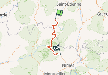
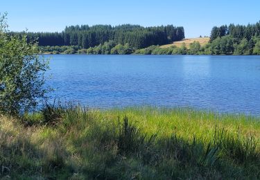
Ruta de 247 km a descubrir en Auvergne-Rhône-Alpes, Alto Loira, Le Puy-en-Velay. Esta ruta ha sido propuesta por nadinebondoux.
Le Chemin de Stevenson ou chemin de grande Randonnée GR70 - Commence dans la ville du Pur en Vellay pour se terminer à Alès. Il chemine à travers lesvastes plateaux volcaniques du Velay, les hautes terres rudes du Gévaudan, le mont Lozère et les crêtes et vallées des Cévennes sur des 252 kilomètres.
Retrouvez toutes les informations utiles, hébergement, transport, location d'âne, étapes, itinéraire dans le topoguide dédié à cette randonnée[url] https://www.nature-randonnee.fr/topo-guide-gr70.php[/url]

Senderismo

Senderismo

Senderismo

Senderismo
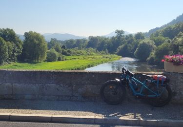
Bici eléctrica
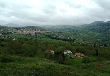
Senderismo
Senderismo
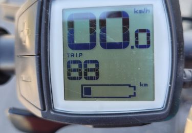
Bici eléctrica
Bici eléctrica