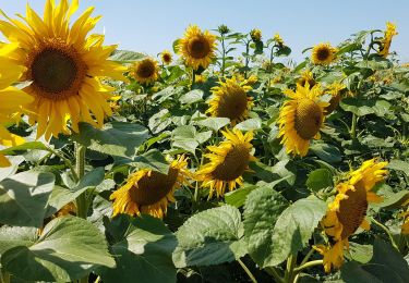
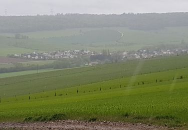
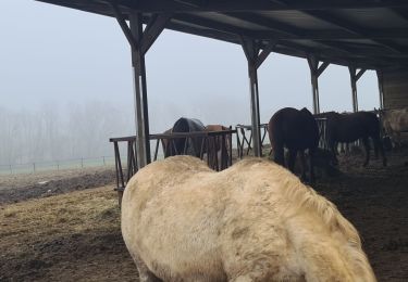
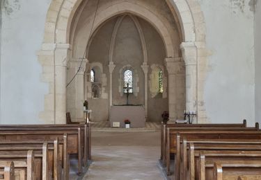
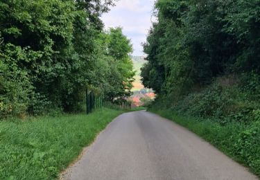
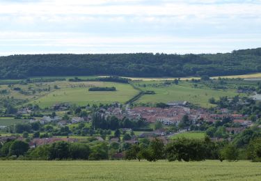
Excursión Senderismo Leyr - Leyr - plateau de la Rochette - Photo

Leyr - plateau de la Rochette

© OpenStreetMap contributors
Longitud
Longitud
11,8 km
Altitud máxima
Altitud máxima
402 m
Desnivel positivo
Desnivel positivo
250 m
Km-Effort
Km-Effort  
15,1 km
Altitud mínima
Altitud mínima
223 m
Desnivel negativo
Desnivel negativo
250 m
Boucle
Boucle
Fecha de creación :
2021-07-20 12:09:16.291
Última modificación :
2021-07-20 18:44:53.294

(0 Opinión)

Senderismo
Senderismo
6h04
Dificultad : Fácil

Escanee este código QR para abrir la excursión en la aplicación SityTrail

Aplicación GPS de excursión GRATIS

Logo SityTrail SityTrail

IGN / Institutos geográficos

Descargar SityTrail en App Store Descargar SityTrail en Google Play

Logo SityTrail SityTrail World

El mundo es suyo

Descargar SityTrail en App Store Descargar SityTrail en Google Play Descargar SityTrail en Huawei AppGallery

A propósito

Ruta Senderismo de 11,8 km a descubrir en Gran Este, Meurthe y Mosela, Leyr. Esta ruta ha sido propuesta por jean-marie.parachini.

Perfil altimétrico

Fotos

Localización

País:
France
Región :
Gran Este
Departamento/provincia :
Meurthe y Mosela
Municipio :
Leyr
Localidad:
Unknown
Salida:(UTM)
299677 ; 5409345 (32U) N.

Excursiones cerca

Excursión Senderismo Leyr - LEYR - LE PLATEAU DE LA ROCHETTE - Photo
Senderismo
jean-marie.parachini

Senderismo

Fácil
Leyr, Gran Este, Meurthe y Mosela, France
12,1 km | 15,5 km-effort
5h 59min
Excursión Senderismo Montenoy - MONTENOY - LE COL DE VASSUCHAMP - Photo
Senderismo
jean-marie.parachini

Senderismo

Fácil
Montenoy, Gran Este, Meurthe y Mosela, France
12,4 km | 16,4 km-effort
4h 33min
Excursión Senderismo Bouxières-aux-Chênes - tour crany 29/5/2019 - Photo
Senderismo
Morel54

Senderismo

Muy fácil
(1)
Bouxières-aux-Chênes, Gran Este, Meurthe y Mosela, France
11,1 km | 14 km-effort
3h 42min
Excursión Senderismo Bouxières-aux-Chênes - bouxieres aux chênes - Blanzey - Photo
Senderismo
jean-marie.parachini

Senderismo

Medio
Bouxières-aux-Chênes, Gran Este, Meurthe y Mosela, France
12 km | 14,7 km-effort
19h 32min
Excursión Senderismo Bouxières-aux-Chênes - bouxieres aux chênes - la tour de crany - Photo
Senderismo
jean-marie.parachini

Senderismo

Fácil
Bouxières-aux-Chênes, Gran Este, Meurthe y Mosela, France
11,2 km | 14,2 km-effort
4h 52min
Excursión A pie Faulx - Circuit L : Variant Faulx - Photo
A pie
GUIDE+

A pie

Fácil
Faulx, Gran Este, Meurthe y Mosela, France
6,3 km | 6,9 km-effort
1h 34min
No
Excursión Senderismo Leyr - Leyr Villers les Moivrons - Photo
Senderismo
jean-marie.parachini

Senderismo

Medio
Leyr, Gran Este, Meurthe y Mosela, France
32 km | 42 km-effort
6h 38min
No
Excursión Senderismo Bouxières-aux-Chênes - Bouxieres aux chenes 26 octobre 24 - Photo
Senderismo
joelclaudel

Senderismo

Medio
Bouxières-aux-Chênes, Gran Este, Meurthe y Mosela, France
10 km | 13,2 km-effort
2h 59min
Excursión Senderismo Bouxières-aux-Chênes - zap Blanzey - Photo
Senderismo
ISAGIL

Senderismo

Muy difícil
Bouxières-aux-Chênes, Gran Este, Meurthe y Mosela, France
19,3 km | 25 km-effort
4h 44min


Cerrar
Mis suscripciones