


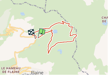

6,7 km | 11,7 km-effort

Usuario


Aplicación GPS de excursión GRATIS
 SityTrail
IGN / Institutos geográficos
SityTrail World
El mundo es suyo
Ruta Senderismo de 7,4 km a descubrir en Auvergne-Rhône-Alpes, Alta Saboya, Arâches-la-Frasse. Esta ruta ha sido propuesta por reneperrin.
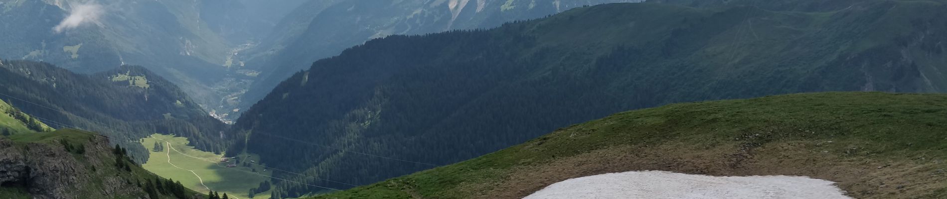
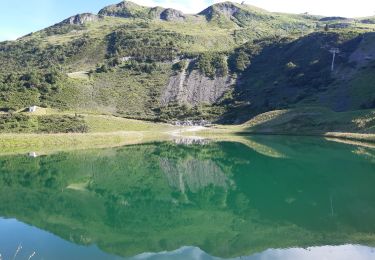
boucle au départ du parking de Vernant, montée vers le la puis le col de Véret, ensuite l'arrête praticable en ce début d'été, et les Grands Vans.
Descente par la piste et retour au parking.


Senderismo

Senderismo

Senderismo
Senderismo

Senderismo

Senderismo

Senderismo
Senderismo

Senderismo