


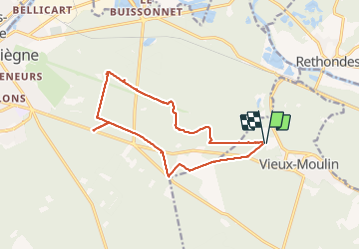


9,6 km | 12,8 km-effort

mes randos en forêt


Aplicación GPS de excursión GRATIS
 SityTrail
IGN / Institutos geográficos
SityTrail World
El mundo es suyo
Ruta Senderismo de 13,6 km a descubrir en Alta Francia, Oise, Vieux-Moulin. Esta ruta ha sido propuesta por en forêt de Compiègne.
07/ 2021
objectifs: faire la Route Eugénie (prévue en hiver car cette route est essentiellement bitumeuse donc pas de boue mais vu la pluie en juillet, la date a été avancée).
rando facile.
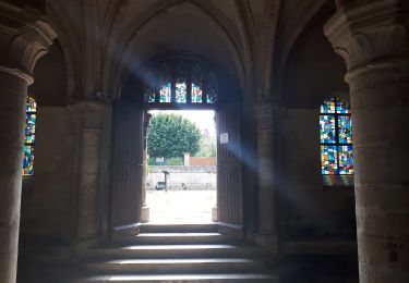
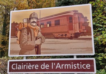
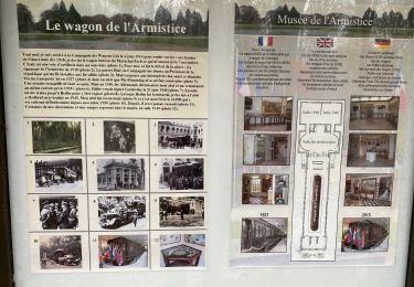
voir aussi: //la-foret-de-compiegne.fr/
batterie de recharge pour iphone nécessaire.
Eviter quand même le dimanche en été par beau temps car beaucoup de monde sur la piste cyclable et l'avenue des Beaux Monts (promeneurs, randonneurs, familles, vtt ...).
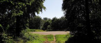
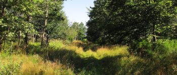
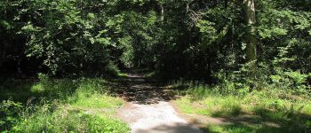
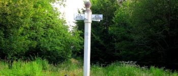
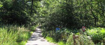
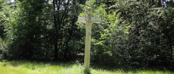
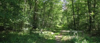
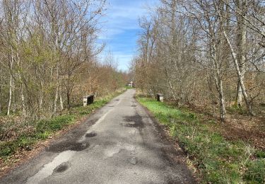
Au départ du Vivier Frère Robert, suivre la Route Eugénie jusqu'au carrefour du Renard en traversant l'Avenue des Beaux Monts. Rejoindre la piste cyclable (Route de la Mare aux Canes), prés du carrefour Gabriel et la suivre jusqu'au carrefour des Sept Morts puis revenir au point de départ .
passage par le carrefour de la Tilloye et le carrefour de Morpigny (bonus).


45 fotos en total. Haga clic en una foto para mostrarlas todas en la galería.
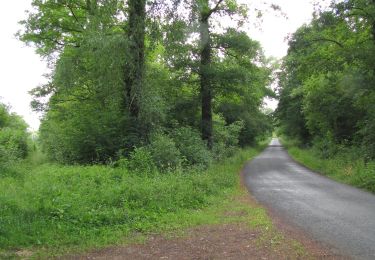
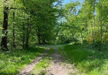
Senderismo
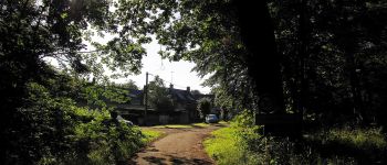
Senderismo
A pie
Senderismo

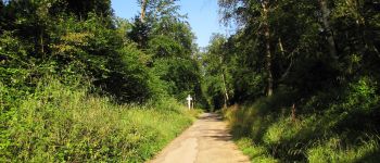
Senderismo
Senderismo
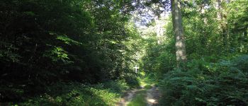
Senderismo
Senderismo
Senderismo