


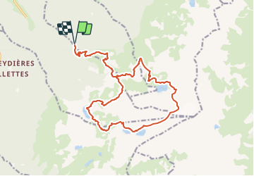

3,5 km | 5,1 km-effort


Usuario


Aplicación GPS de excursión GRATIS
 SityTrail
IGN / Institutos geográficos
SityTrail World
El mundo es suyo
Ruta Senderismo de 21 km a descubrir en Auvergne-Rhône-Alpes, Isère, Saint-Mury-Monteymond. Esta ruta ha sido propuesta por Uio73.
Très belle randonnée avec pas mal de dénivelé et une belle distance. Paysages bien variés, quelques passages où il faut un peu naviguer (pas vraiment de sentier tracé).
Ne pas se baser sur notre temps, on a pas mal trainé, on aurait pu gagner facilement 1h30.

A pie

A pie

A pie

Esquí de fondo
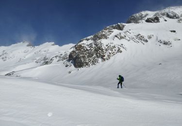
Raquetas de nieve
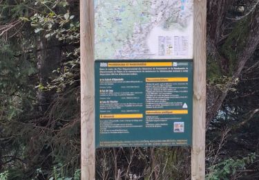
Senderismo

Senderismo

Senderismo

Senderismo