


32 km | 38 km-effort

Usuario GUIDE


Aplicación GPS de excursión GRATIS
 SityTrail
IGN / Institutos geográficos
SityTrail World
El mundo es suyo
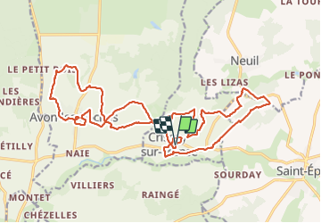
Ruta Senderismo de 25 km a descubrir en Centro, Indre y Loira, Crissay-sur-Manse. Esta ruta ha sido propuesta por Orcal37.
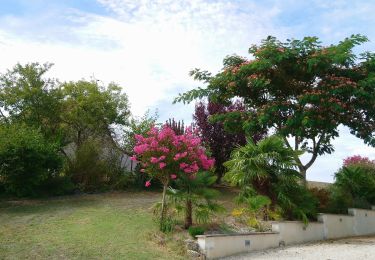
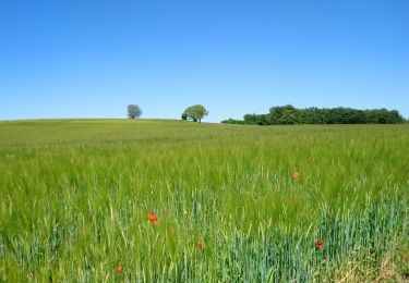
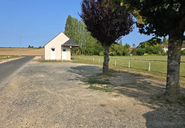
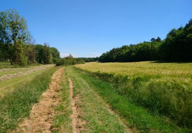
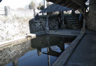
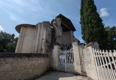
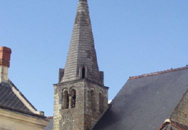
Crissay-sur-Manse (PRs) - Neuil Avon-les-Roches (PR) - 24.9km 370m 5h20 (30mn) - 2021 07 11
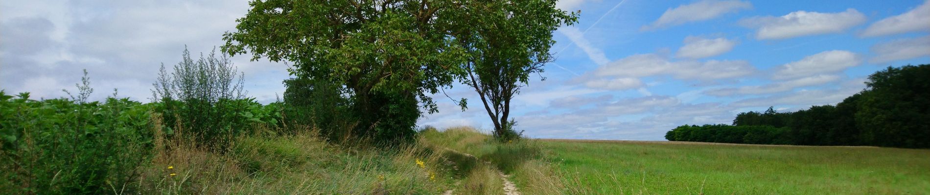
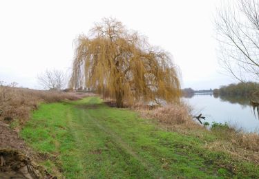
 - 2021 07 11 - Photo 1")
 - 2021 07 11 - Photo 2")
 - 2021 07 11 - Photo 3")
 - 2021 07 11 - Photo 4")
 - 2021 07 11 - Photo 5")
 - 2021 07 11 - Photo 6")
 - 2021 07 11 - Photo 7")
 - 2021 07 11 - Photo 8")
 - 2021 07 11 - Photo 9")
 - 2021 07 11 - Photo 10")
 - 2021 07 11 - Photo 11")
 - 2021 07 11 - Photo 12")
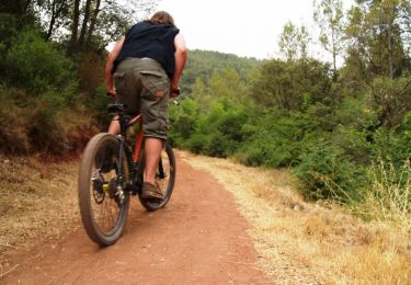
Bici de montaña
Senderismo
Senderismo
Senderismo
Senderismo
Senderismo
Senderismo
Senderismo
Senderismo