


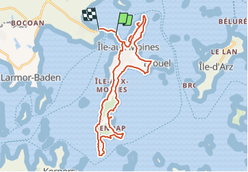


10,9 km | 12,3 km-effort

Usuario


Aplicación GPS de excursión GRATIS
 SityTrail
IGN / Institutos geográficos
SityTrail World
El mundo es suyo
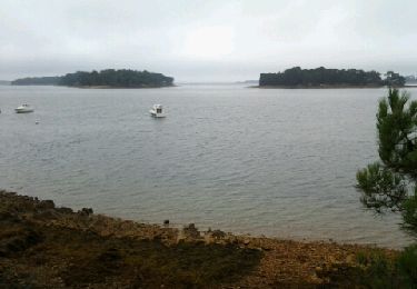
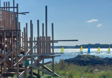
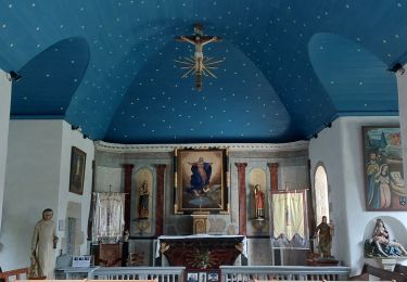
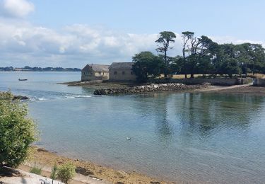
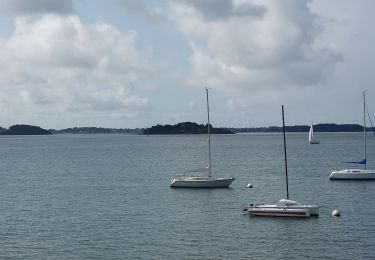
Ruta Senderismo de 19,2 km a descubrir en Bretaña, Morbihan, Île-aux-Moines. Esta ruta ha sido propuesta por FMV144.
Tour de l’île par le sentier côtier


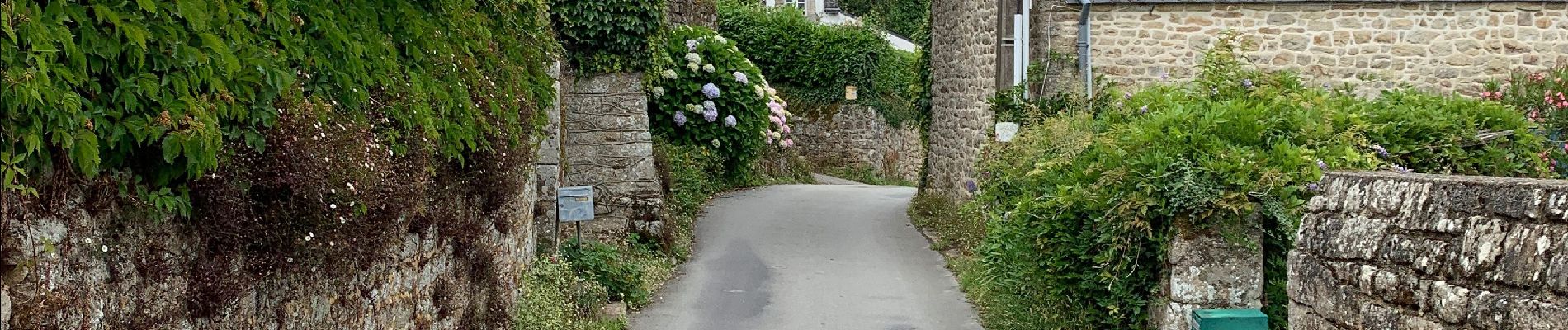
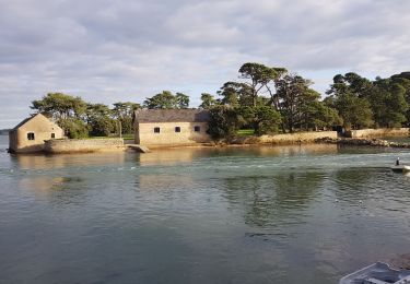
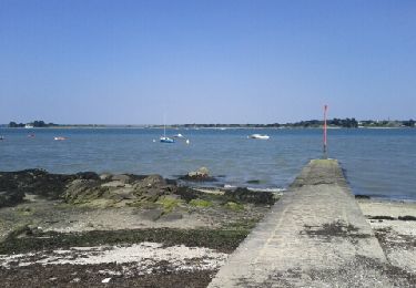
32 fotos en total. Haga clic en una foto para mostrarlas todas en la galería.
Senderismo
Senderismo
Carrera

Bicicleta

Senderismo
Senderismo
Senderismo
Senderismo
Senderismo