


4,4 km | 7,7 km-effort


Usuario


Aplicación GPS de excursión GRATIS
 SityTrail
IGN / Institutos geográficos
SityTrail World
El mundo es suyo
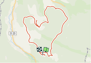
Ruta Senderismo de 11,2 km a descubrir en Gran Este, Vosgos, Plainfaing. Esta ruta ha sido propuesta por surceneux.
La Grange le Pour disque bleu AR Fourchon les Grands Prés la Hardalle Varsivaux La Grange Le Pour

Senderismo

Senderismo

Bici de montaña
Paseo ecuestre

Senderismo
A pie
Senderismo
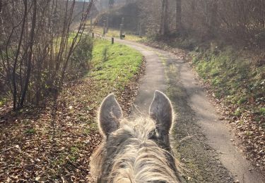
Paseo ecuestre

Senderismo