


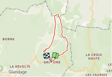

8,5 km | 18,1 km-effort

Usuario GUIDE


Aplicación GPS de excursión GRATIS
 SityTrail
IGN / Institutos geográficos
SityTrail World
El mundo es suyo
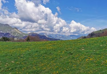
Ruta Senderismo de 12 km a descubrir en Auvergne-Rhône-Alpes, Drôme, Glandage. Esta ruta ha sido propuesta por thonyc.
TRÈS IMPORTANT: montée au Jocou après le col de Seysse interdite l'été car présence troupeaux et patoux
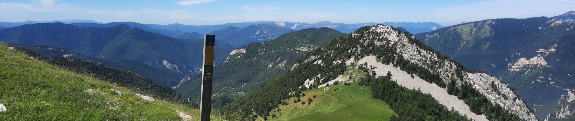
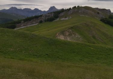
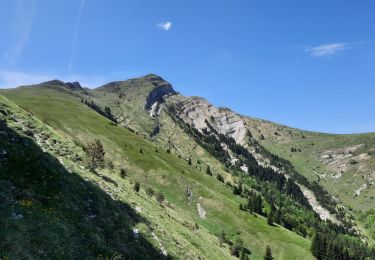
Panoramas exceptionnels
Forte montée après le col de Seysse pour atteindre la crête du Jocou
Passage vertigineux sans danger toutefois


Senderismo

Senderismo

Senderismo

A pie

A pie

A pie
Senderismo
Senderismo
Senderismo