


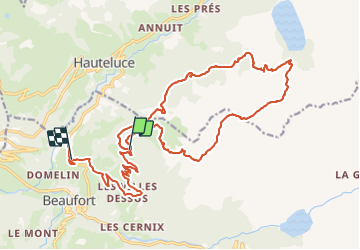

18,1 km | 28 km-effort

Usuario


Aplicación GPS de excursión GRATIS
 SityTrail
IGN / Institutos geográficos
SityTrail World
El mundo es suyo
Ruta Senderismo de 26 km a descubrir en Auvergne-Rhône-Alpes, Saboya, Beaufort. Esta ruta ha sido propuesta por bill73.
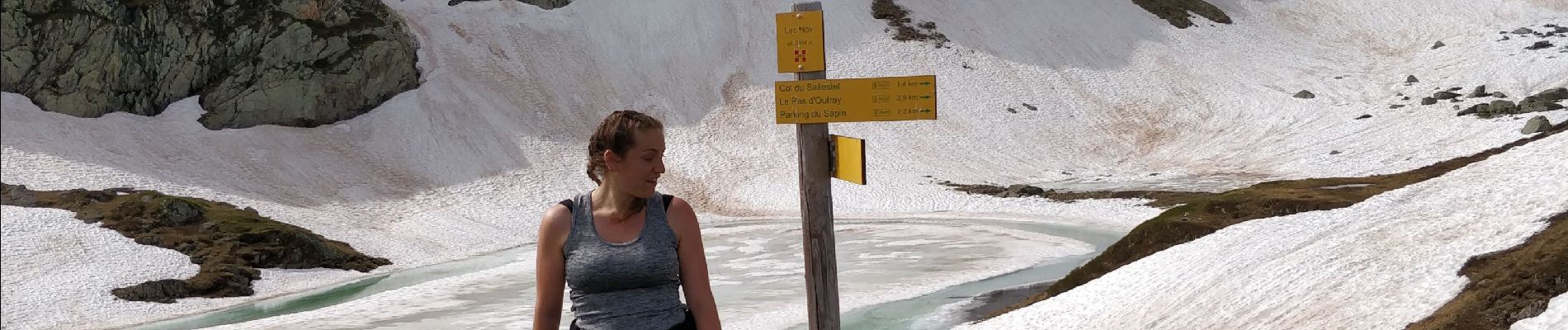
Rando avec Laetitia, bien marcher, rentré juste avant un petit orage, Lucki était avec nous également.
Bonne balade.


Senderismo

Senderismo

Senderismo

Esquí de fondo

Esquí de fondo
Senderismo

Senderismo
Senderismo
Senderismo