


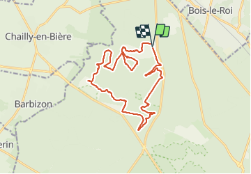


7,5 km | 8,2 km-effort

Usuario GUIDE


Aplicación GPS de excursión GRATIS
 SityTrail
IGN / Institutos geográficos
SityTrail World
El mundo es suyo
Ruta Senderismo de 17,3 km a descubrir en Isla de Francia, Sena y Marne, Fontainebleau. Esta ruta ha sido propuesta por chessyca.
Reprise en partie d'une rando organisée par Pierre - Sur les traces de Césaire Sempité
Départ depuis le parking du rocher canon


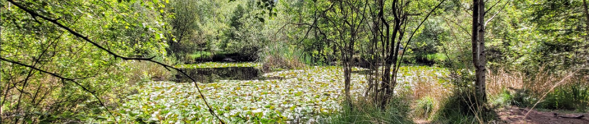
Senderismo

Senderismo

Senderismo

Senderismo

A pie

Senderismo

Senderismo
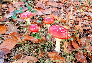
Senderismo
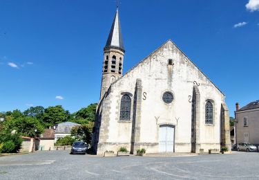
Senderismo