


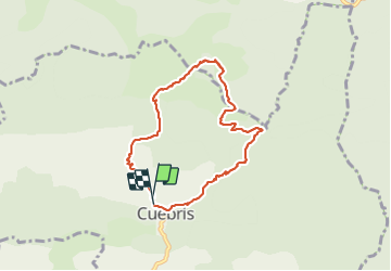

24 km | 46 km-effort


Usuario


Aplicación GPS de excursión GRATIS
 SityTrail
IGN / Institutos geográficos
SityTrail World
El mundo es suyo
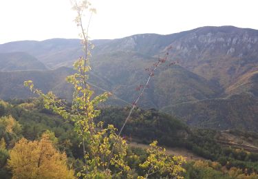
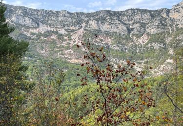
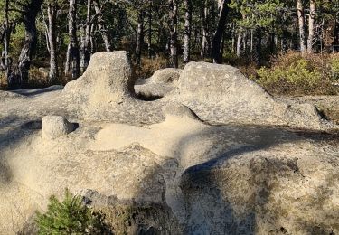
Ruta Senderismo de 7,8 km a descubrir en Provenza-Alpes-Costa Azul, Alpes Marítimos, Cuébris. Esta ruta ha sido propuesta por pln30.
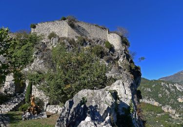
très belle randonnée variée, avec un départ soutenu, vous trouverez sur ma chaine youtube Air View Channel une vidéo de cette randonnée
A pie
A pie

Senderismo
Senderismo
Senderismo
Senderismo
Senderismo
Senderismo
Senderismo