


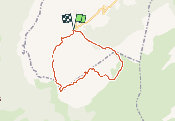

9,7 km | 15,3 km-effort

Usuario


Aplicación GPS de excursión GRATIS
 SityTrail
IGN / Institutos geográficos
SityTrail World
El mundo es suyo
Ruta Senderismo de 7,2 km a descubrir en Auvergne-Rhône-Alpes, Alta Saboya, Brizon. Esta ruta ha sido propuesta por djeepee74.
BOUCLE... live 20210612
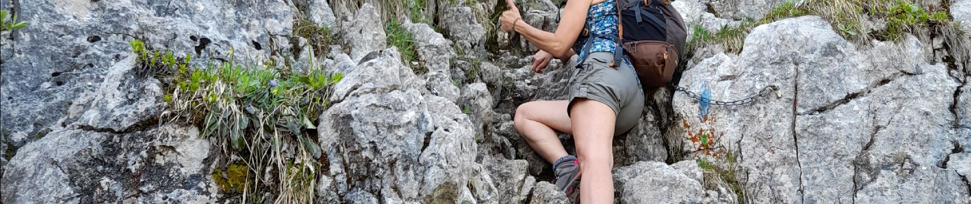
ceRise sur le gâteau: Roussette Marestel de la cave du Prieuré de Jongieux et assiette du randonneur "AUX RHODOS"


Senderismo

Senderismo

Esquí de fondo

Esquí de fondo

Senderismo

Senderismo
Senderismo

Senderismo

Senderismo