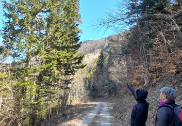
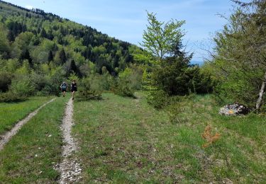
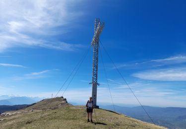
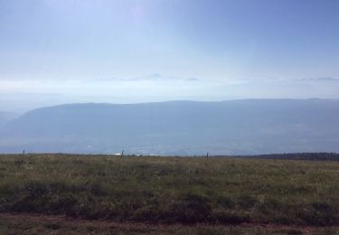
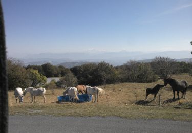
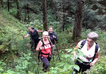
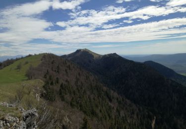
Excursión Senderismo Arvière-en-Valromey - Chalet d'Arvières - Photo
© OpenStreetMap contributors
Longitud
Longitud
10,5 km
Altitud máxima
Altitud máxima
1416 m
Desnivel positivo
Desnivel positivo
360 m
Km-Effort
Km-Effort  
15,3 km
Altitud mínima
Altitud mínima
1149 m
Desnivel negativo
Desnivel negativo
365 m
Boucle
Boucle
Fecha de creación :
2021-06-03 07:08:31.162
Última modificación :
2021-06-03 16:08:00.9

(0 Opinión)

Senderismo
Senderismo
3h15
Dificultad : Fácil

Escanee este código QR para abrir la excursión en la aplicación SityTrail

Aplicación GPS de excursión GRATIS

Logo SityTrail SityTrail

IGN / Institutos geográficos

Descargar SityTrail en App Store Descargar SityTrail en Google Play

Logo SityTrail SityTrail World

El mundo es suyo

Descargar SityTrail en App Store Descargar SityTrail en Google Play Descargar SityTrail en Huawei AppGallery

A propósito

Ruta Senderismo de 10,5 km a descubrir en Auvergne-Rhône-Alpes, Ain, Arvière-en-Valromey. Esta ruta ha sido propuesta por Michel_Martin.

Descripción

Départ du parking de la Combe du cimetière
   remontez vers la crête de Sur Lyand pour cheminer tout le long de celle-ci.
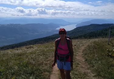
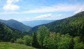
   Au point haut de Sur Lyand panorama à 360°sur le Valromey et en particulier le vallon d’Arvière.
   Redescendre au col de Charbemène.
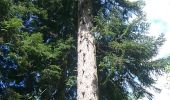
   De celui-ci allez vers le nord-ouest pour rejoindre le refuge d’Arvières, sur le chemin vous passez près d’un arbre remarquable, le sapin pectiné dit Daubrée de 350 ans.
   Arrivez au chalet d’Arvières.

Retour :

   Reprendre le chemin d’arrivée et à l’intersection prendre à gauche le GR de pays Balcon du Valromey, qui revient au parking.

Perfil altimétrico

Fotos

Localización

País:
France
Región :
Auvergne-Rhône-Alpes
Departamento/provincia :
Ain
Municipio :
Arvière-en-Valromey
Localidad:
Brénaz
Salida:(UTM)
713546 ; 5092403 (31T) N.

Excursiones cerca

Excursión Senderismo Corbonod - GRAND COLOMBIER: SUR LYAND - CHARBEMENES - CHALET D'ARVIERES - Photo
Senderismo
djeepee74

Senderismo

Medio
(1)
Corbonod, Auvergne-Rhône-Alpes, Ain, France
13,5 km | 19,7 km-effort
4h 30min
Excursión Senderismo Arvière-en-Valromey - SUR LYAND NORD via corniche & balcon Valromey et GR9 - Photo
Senderismo
djeepee74

Senderismo

Difícil
Arvière-en-Valromey, Auvergne-Rhône-Alpes, Ain, France
26 km | 36 km-effort
6h 35min
Excursión Senderismo Corbonod - GRAND COLOMBIER: SUR LYAND - CHARBEMENES par les crêtes - COLOMBIER - RETOUR PAR VALLON D'ARVIERES - Photo
Senderismo
djeepee74

Senderismo

Medio
Corbonod, Auvergne-Rhône-Alpes, Ain, France
14,5 km | 22 km-effort
4h 30min
Excursión Senderismo Arvière-en-Valromey - GR 9 - Étape 13 - Chalet d’Arvières - Chanaz - Photo
Senderismo
pcugnod

Senderismo

Muy difícil
Arvière-en-Valromey, Auvergne-Rhône-Alpes, Ain, France
27 km | 0 m-effort
7h 33min
No
Excursión Senderismo Corbonod - combe merlin - Photo
Senderismo
jibe01

Senderismo

Fácil
Corbonod, Auvergne-Rhône-Alpes, Ain, France
9,9 km | 14,1 km-effort
2h 1min
Excursión Senderismo Arvière-en-Valromey - GTJ 13 Chalet d'Arviere/Culoz - Photo
Senderismo
Praff

Senderismo

Medio
Arvière-en-Valromey, Auvergne-Rhône-Alpes, Ain, France
20 km | 29 km-effort
6h 18min
No
Excursión Senderismo Corbonod - GRAND COLOMBIER: SUR LYAND - CHARBEMENES PAR LES CRETES - ARVIERES par la
Senderismo
djeepee74

Senderismo

Medio
(1)
Corbonod, Auvergne-Rhône-Alpes, Ain, France
14,4 km | 21 km-effort
4h 36min
Excursión Senderismo Arvière-en-Valromey - LE GRAND COLOMBIER - Photo
Senderismo
Jean-Paulchoux

Senderismo

Medio
Arvière-en-Valromey, Auvergne-Rhône-Alpes, Ain, France
14,9 km | 24 km-effort
5h 27min
Excursión Senderismo Arvière-en-Valromey - le grand colombier - Photo
Senderismo
colomb24

Senderismo

Muy fácil
Arvière-en-Valromey, Auvergne-Rhône-Alpes, Ain, France
15,2 km | 23 km-effort
5h 32min


Cerrar
Mis suscripciones